The Himalayas:
Chamba:
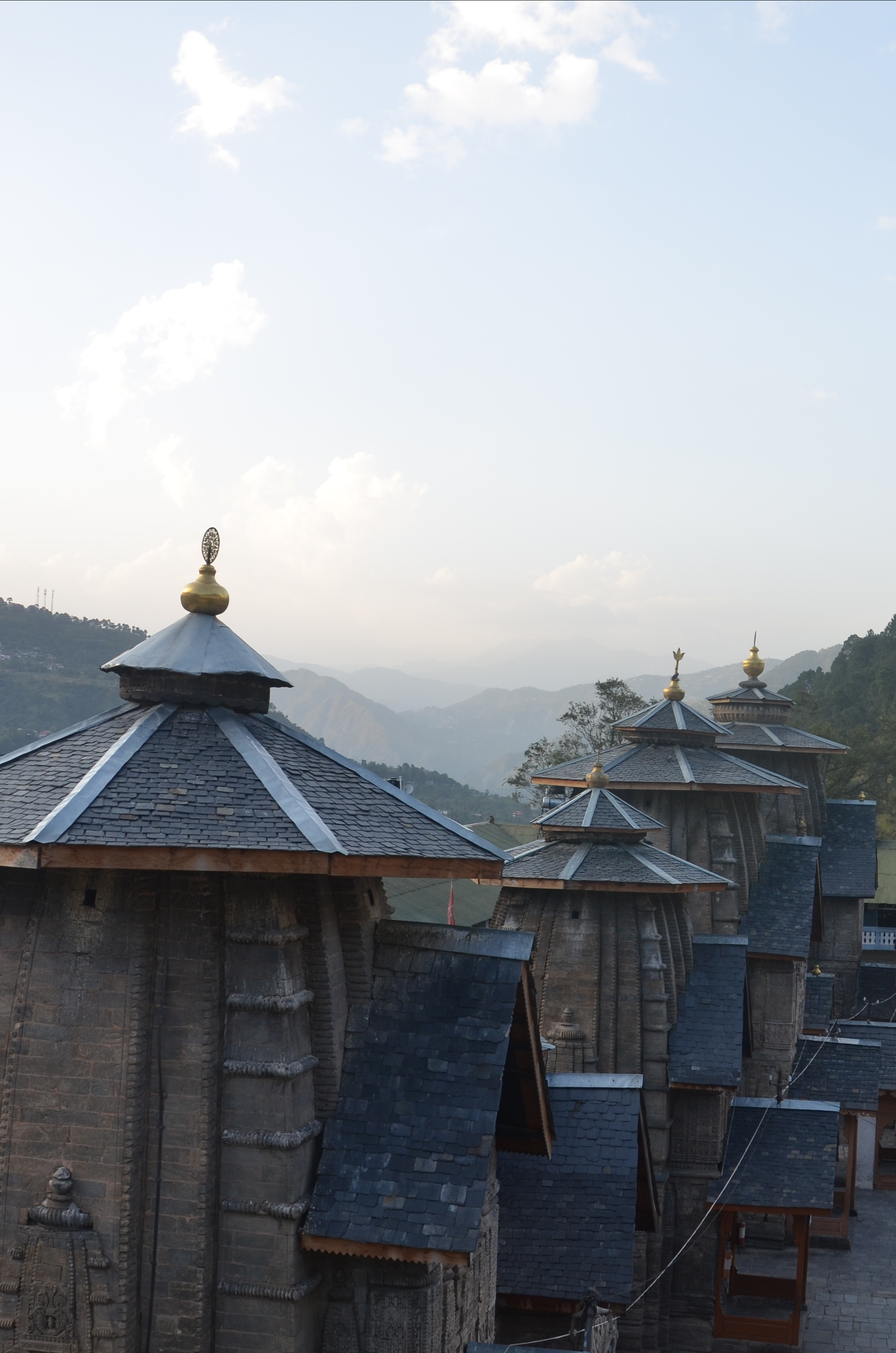
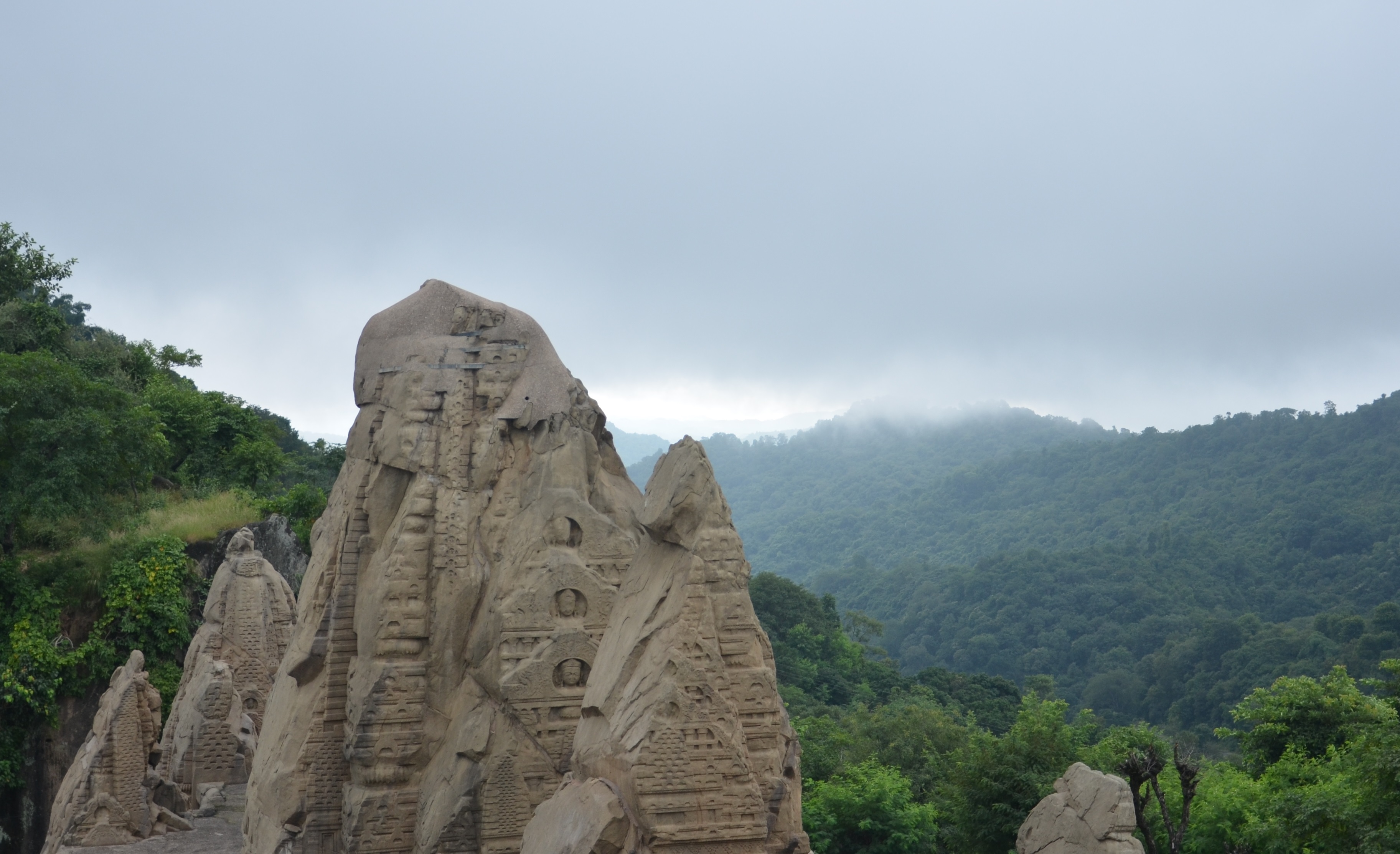
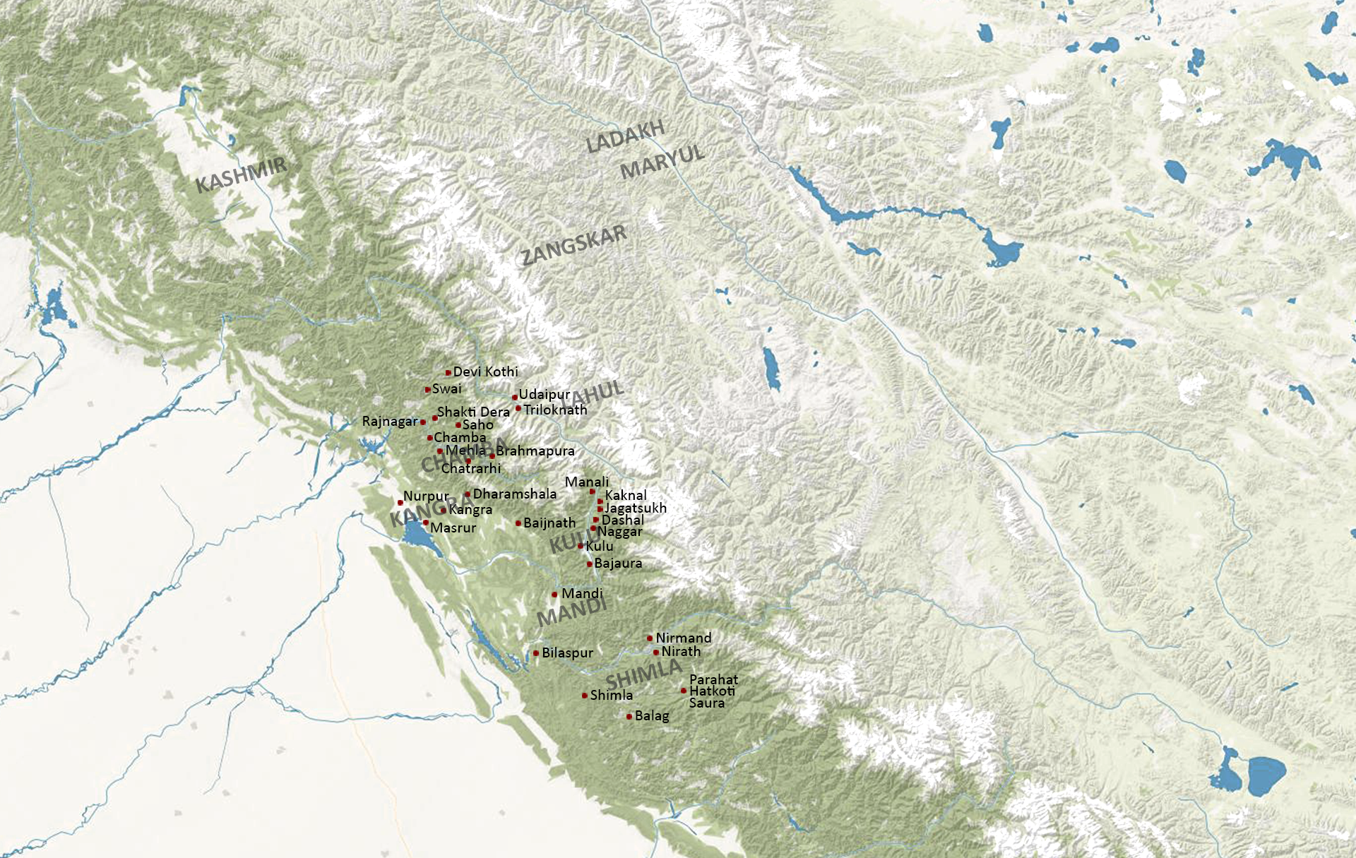
The kingdom of Chamba came into existence as the result of a migration movement from the northwest-Indian Plains into the Western Himalayan Hill Region during the post-Gupta era (6th -7th century). Its heartland is constituted by the valley of the Ravi River and its tributaries. The first administrative and religious center was at Brahmapura (modern Brahmour) in the Upper Ravi Valley, a location well protected by almost unsurpassable gorges, steep slopes and mountain chains. By the 10th century, the capital was moved further down the valley to Chamba. The place name was then used for both the town and the kingdom simultaneously. While Chamba was permanently surrounded by powerful neighbours such as the kingdom of Kashmir, the Pratihara Empire of Kannauj and later then the Mughal Empire, it managed to maintain at least some independence until the times of the British Empire. The resistance on the military and political level however did not result in cultural isolation. It was the contrary as Chamba exchanged, adapted and absorbed many of the currents that its neighbours developed over the centuries. It was probably Chamba where the artistic traditions of Kashmir and the Pratihara Empire were merged in the most sophisticated way.
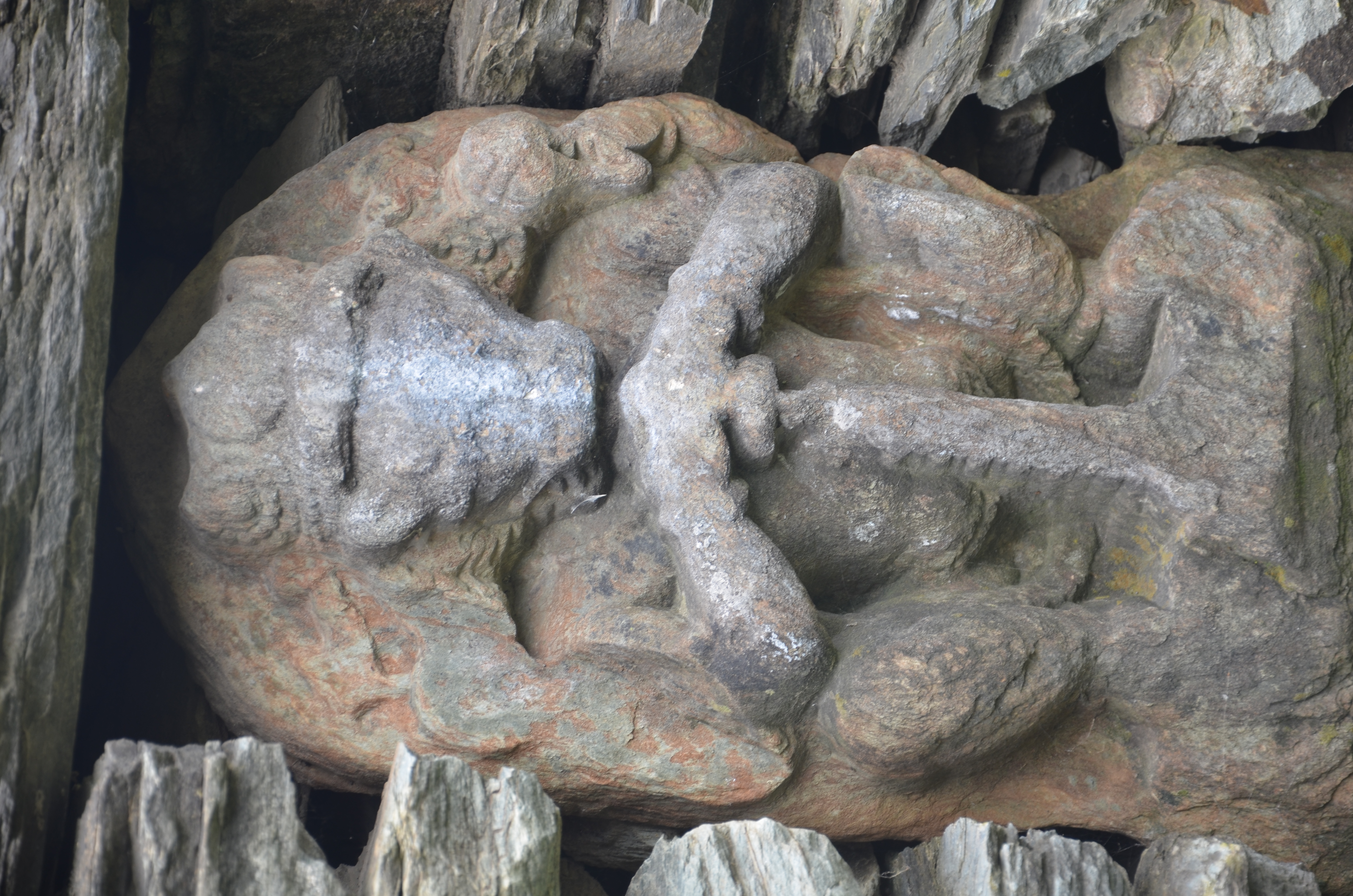
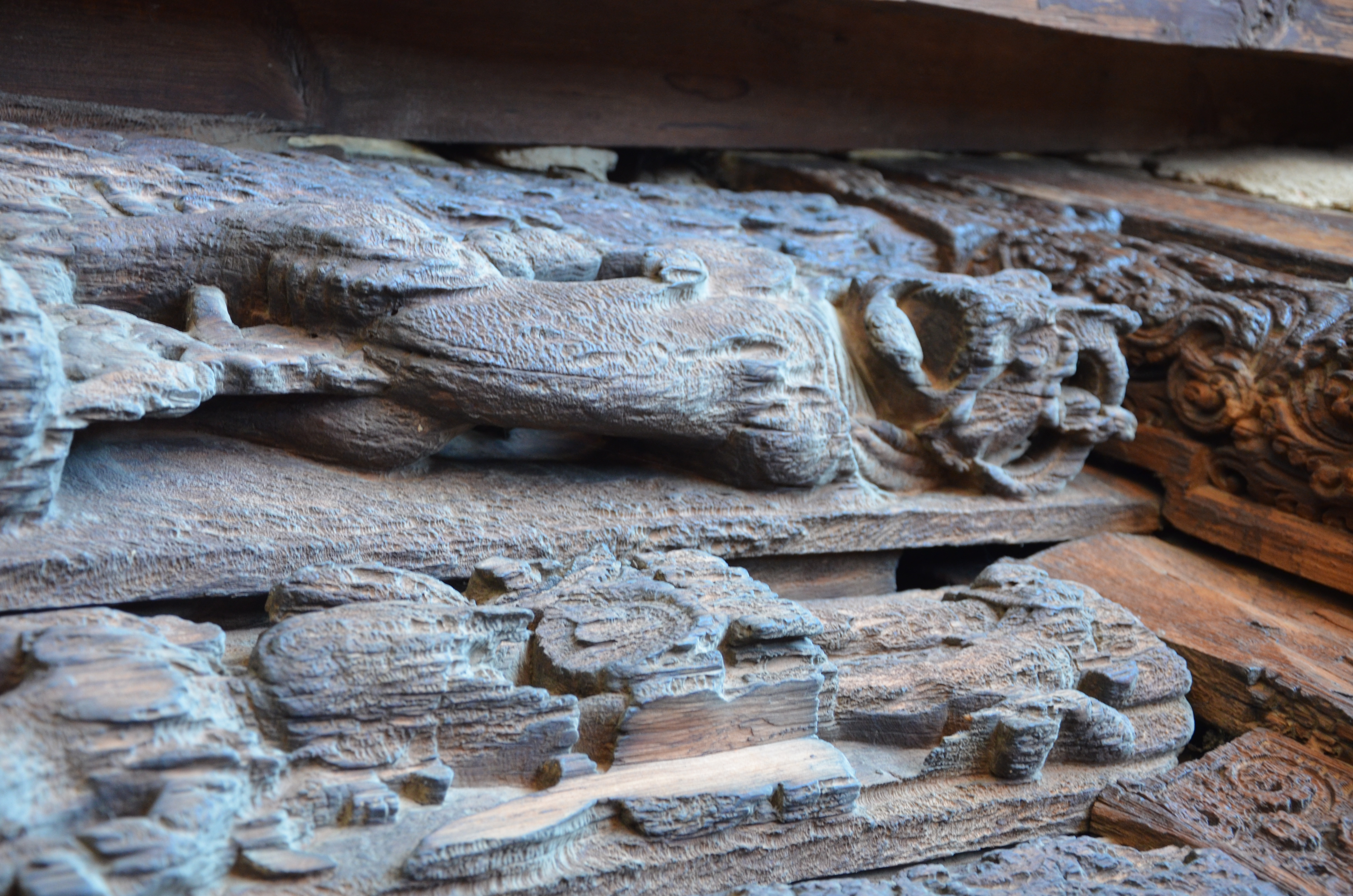
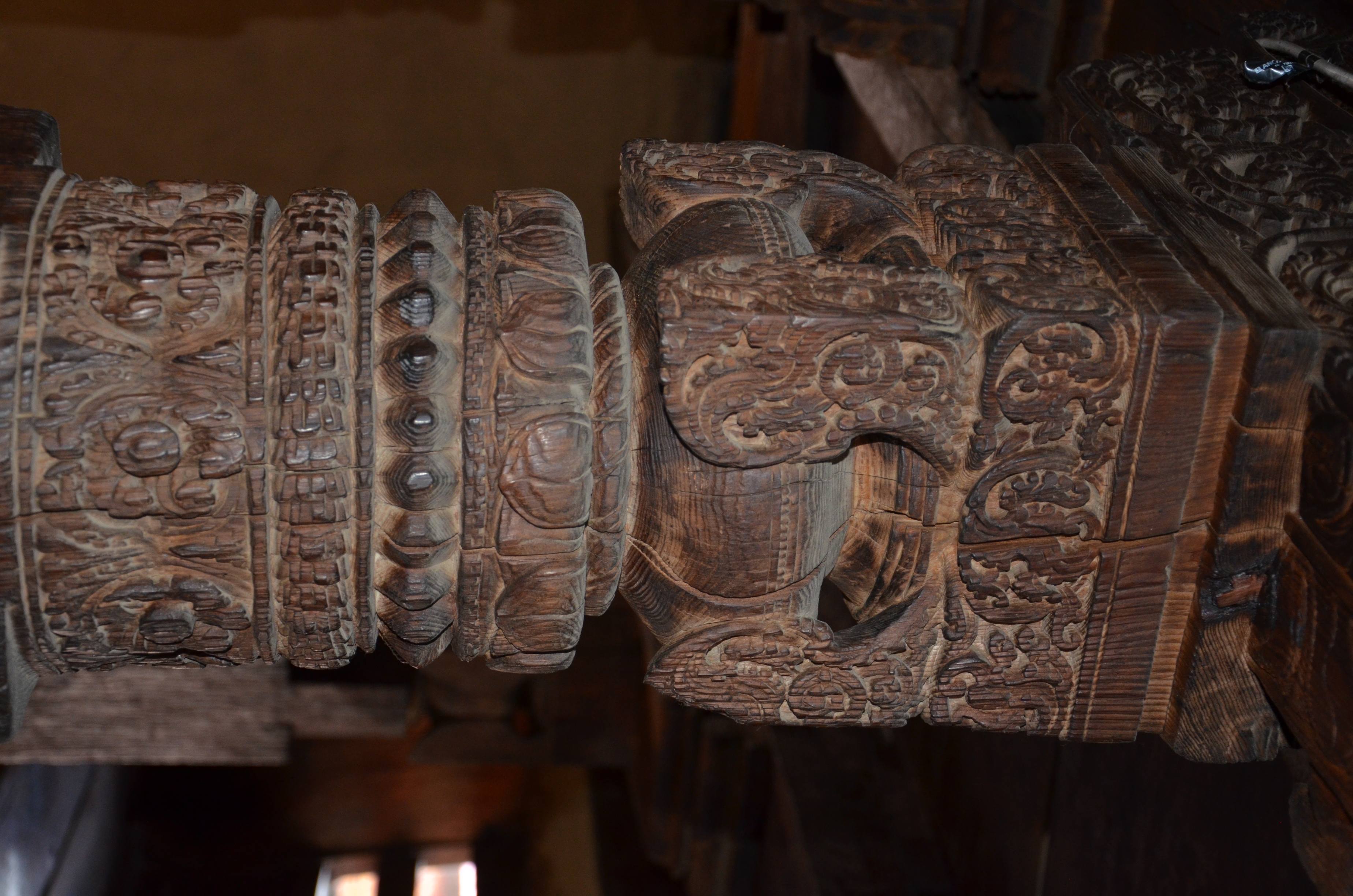
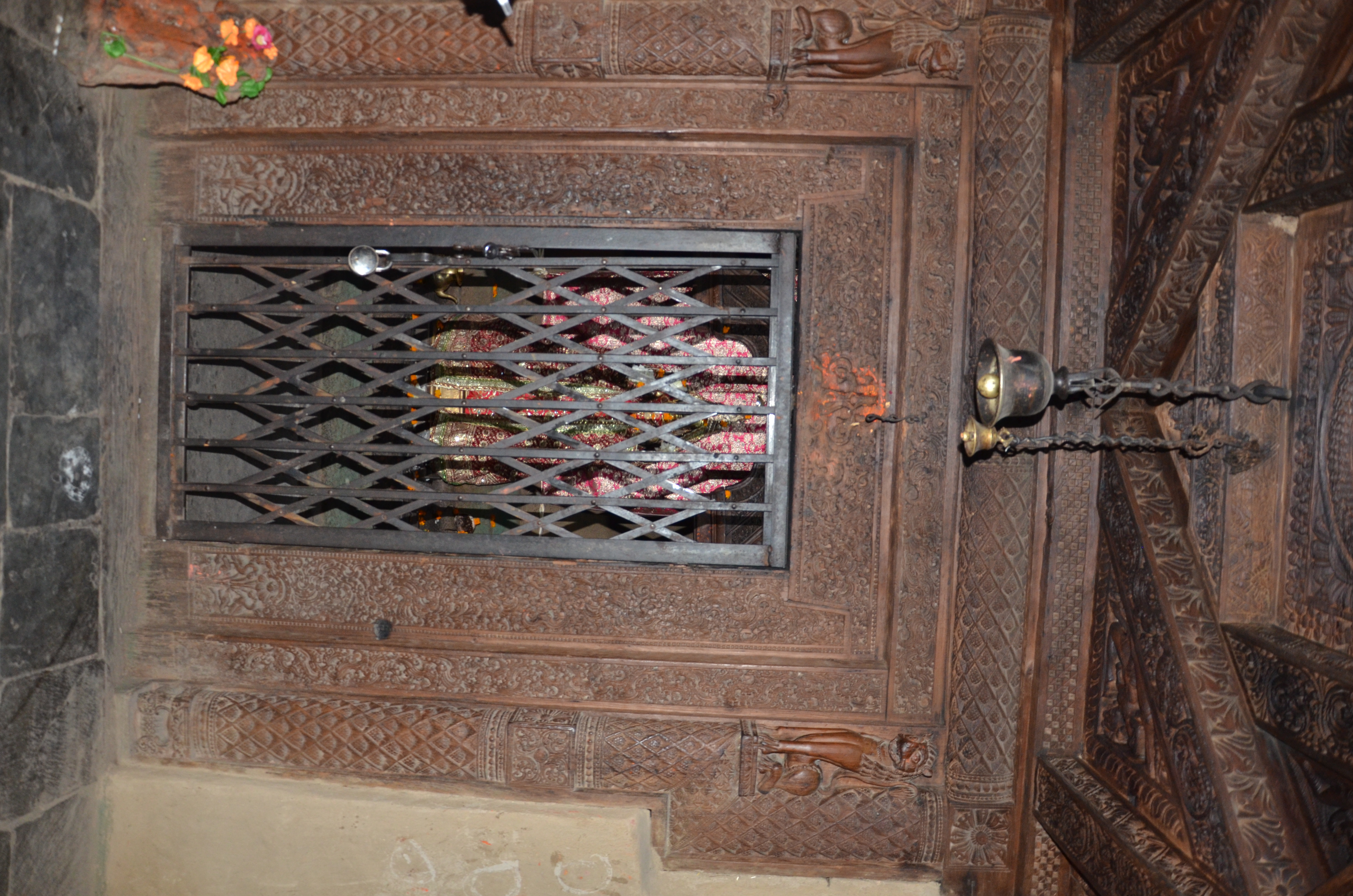
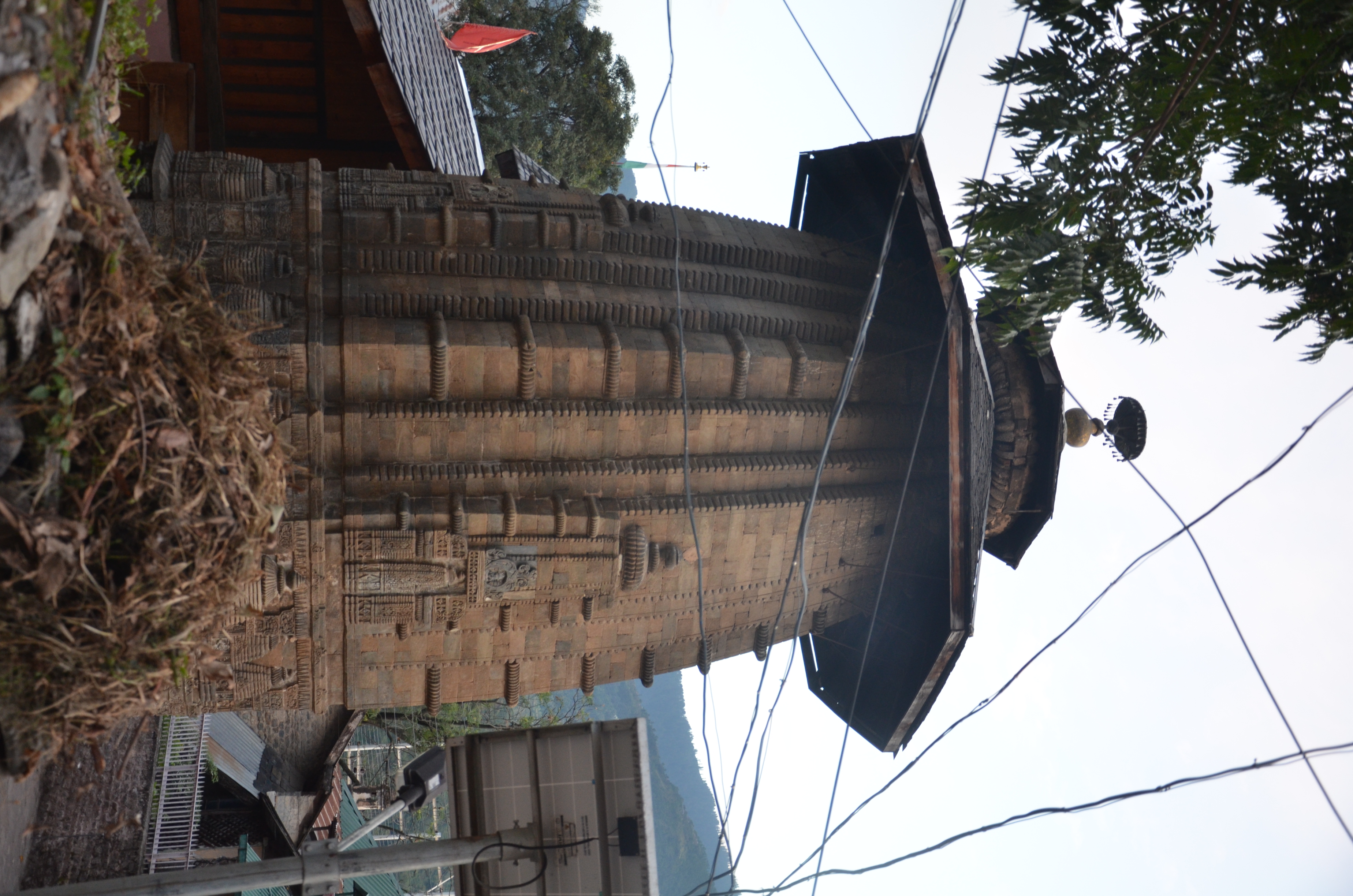
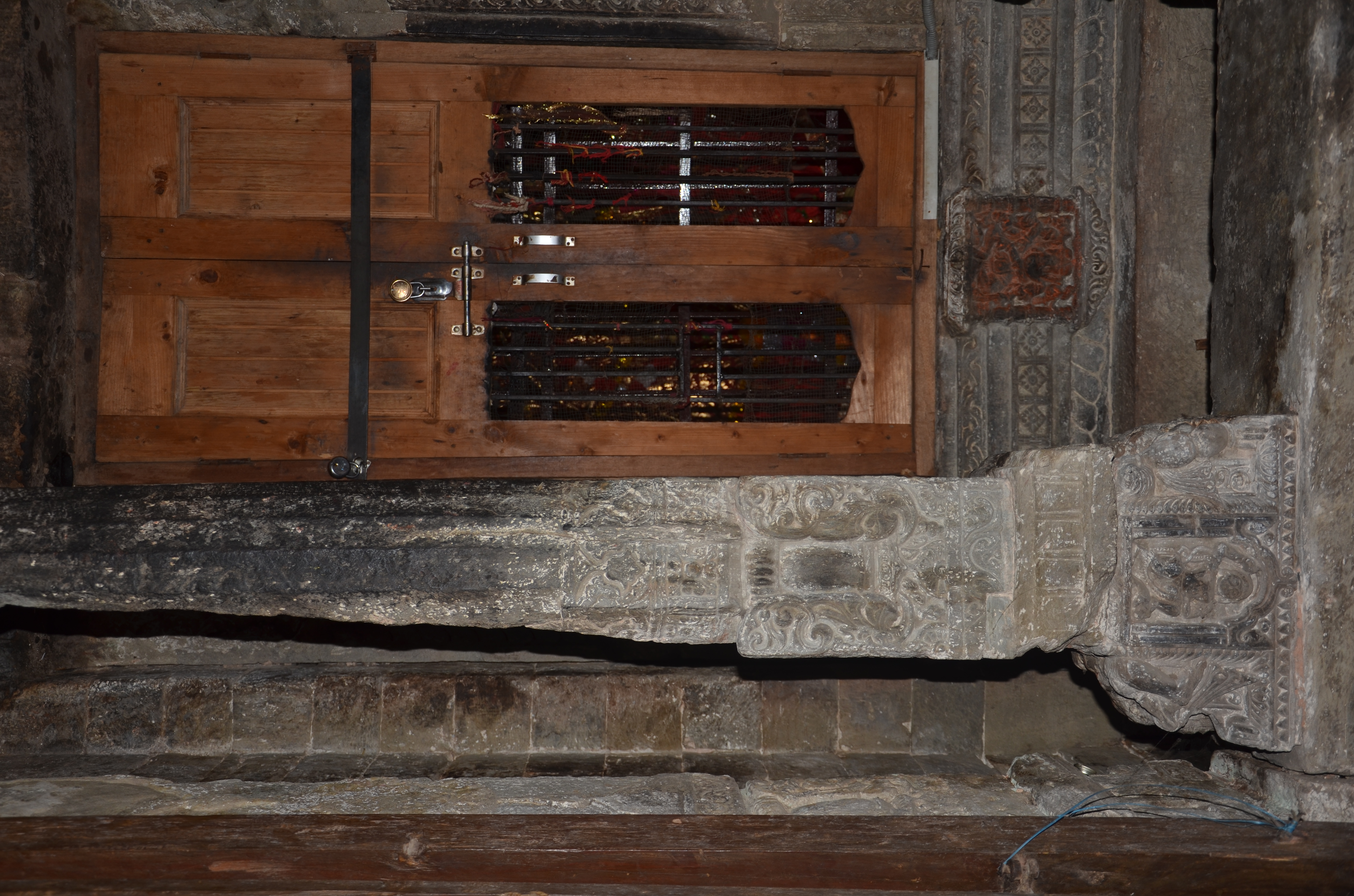
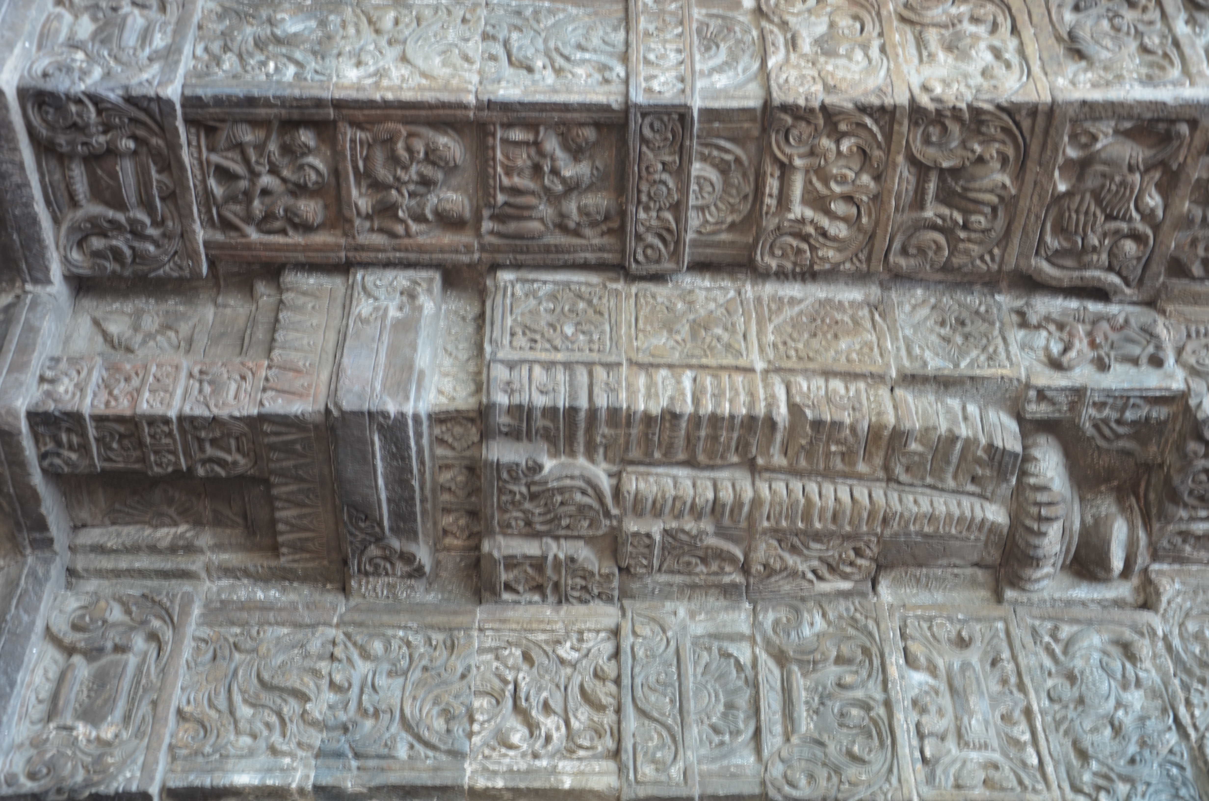
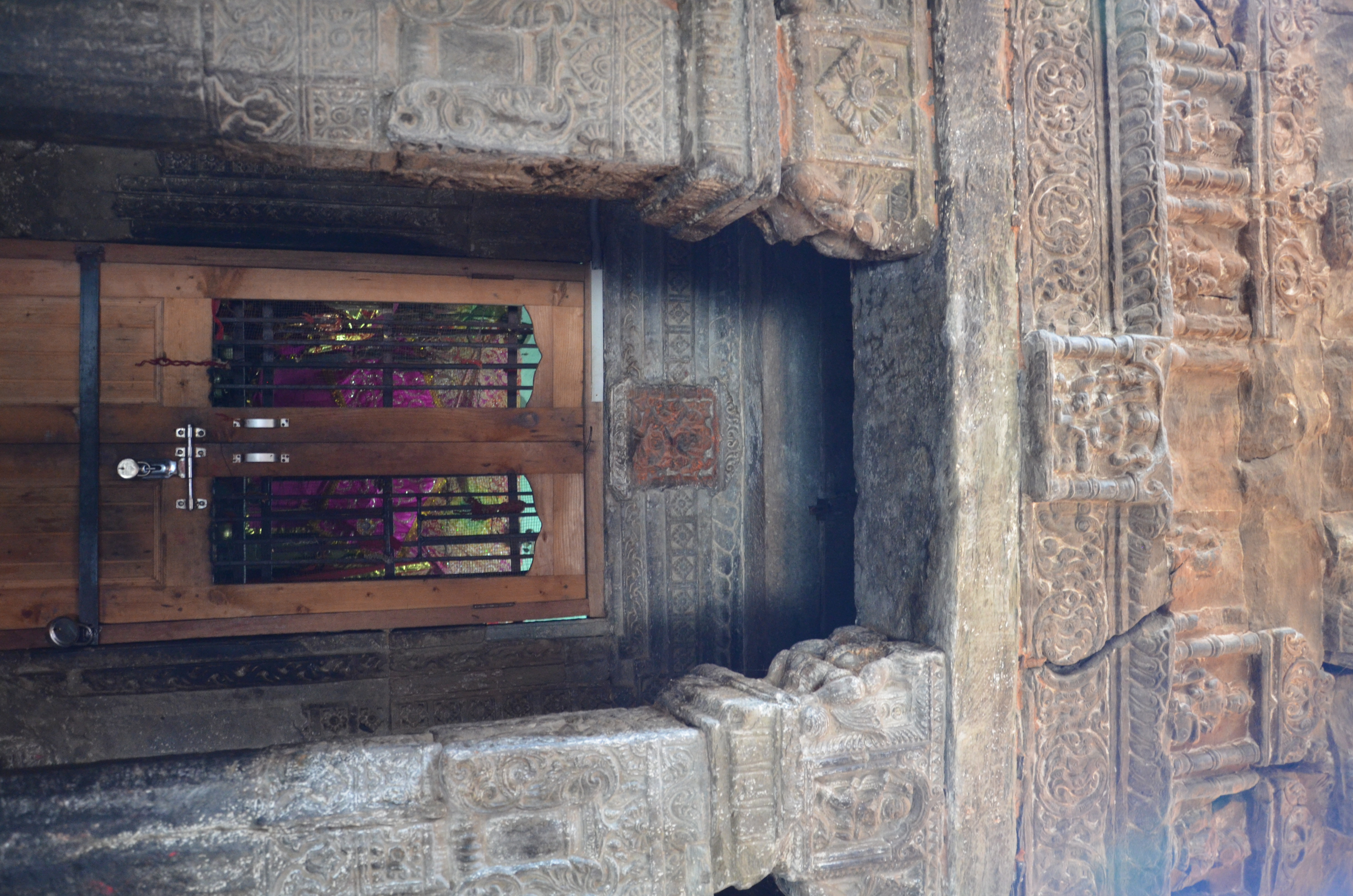
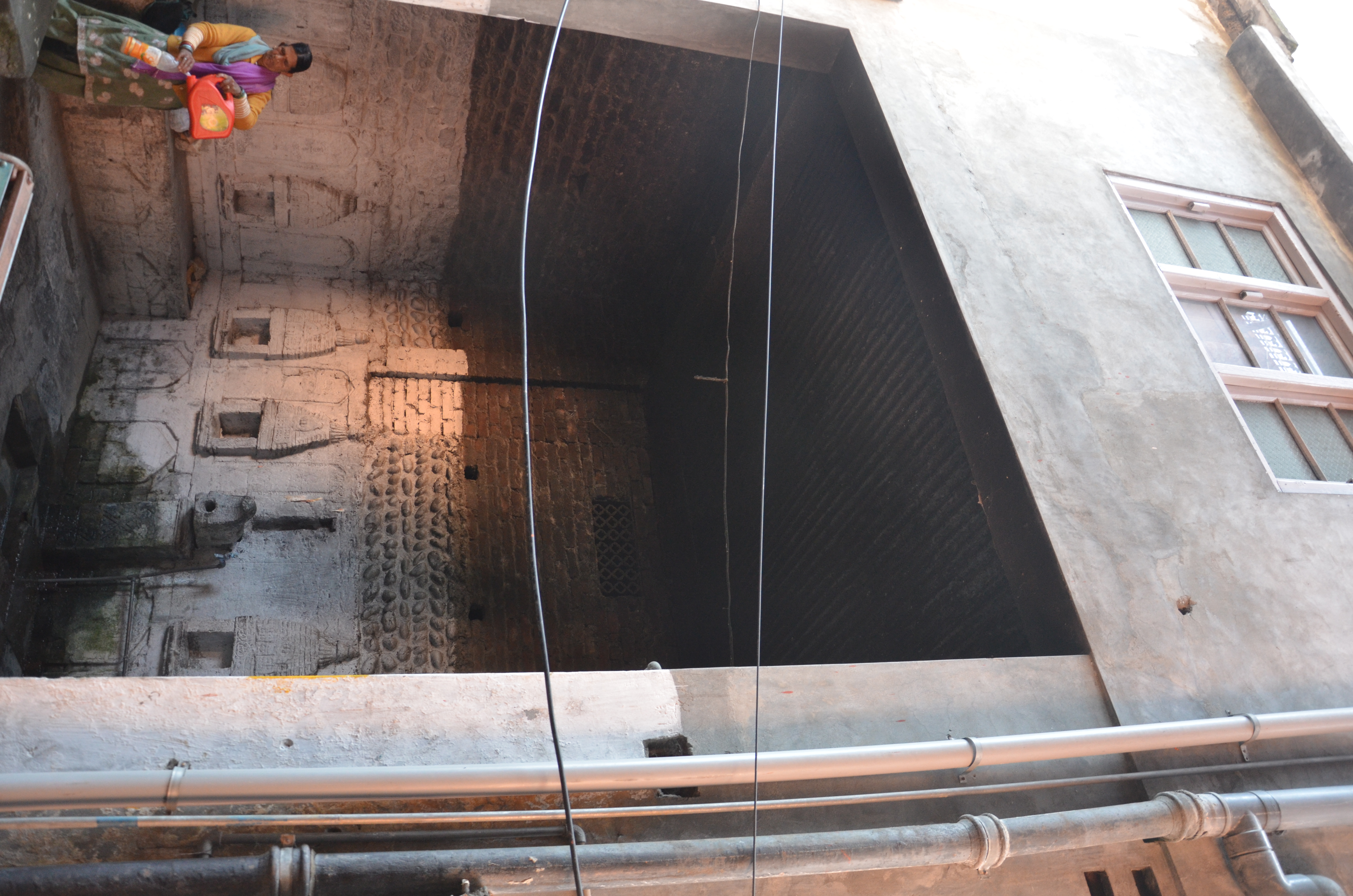
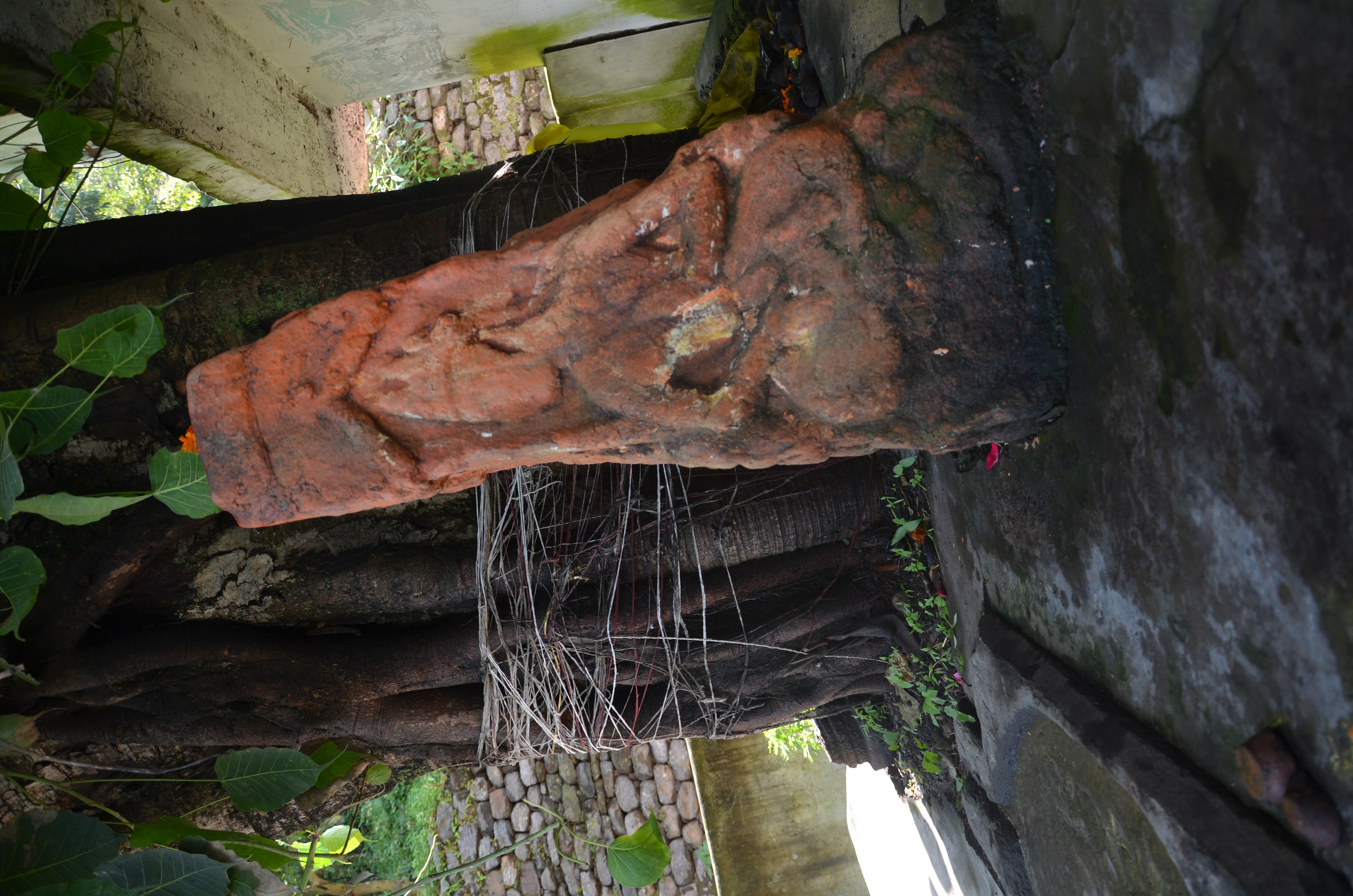
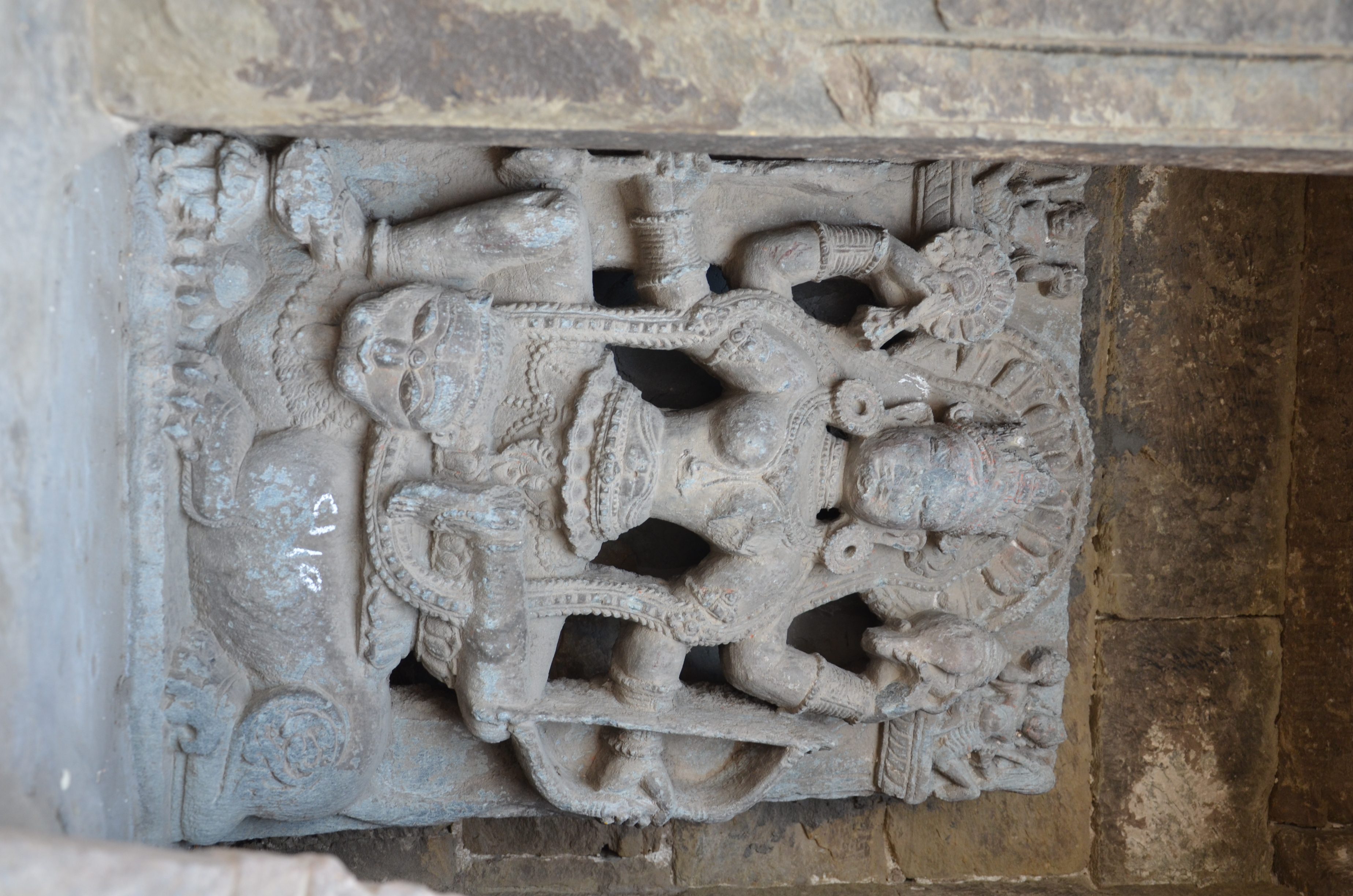
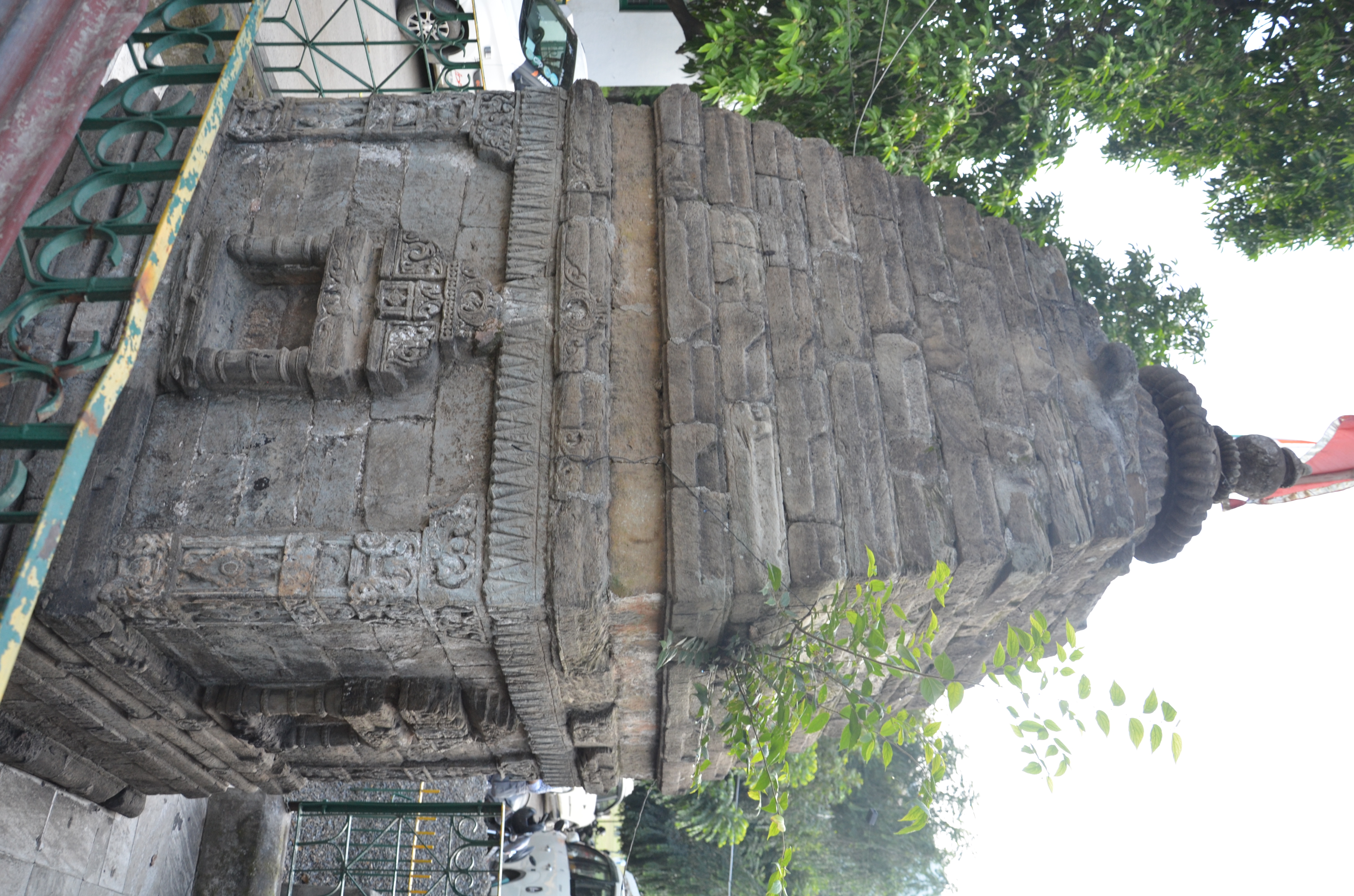
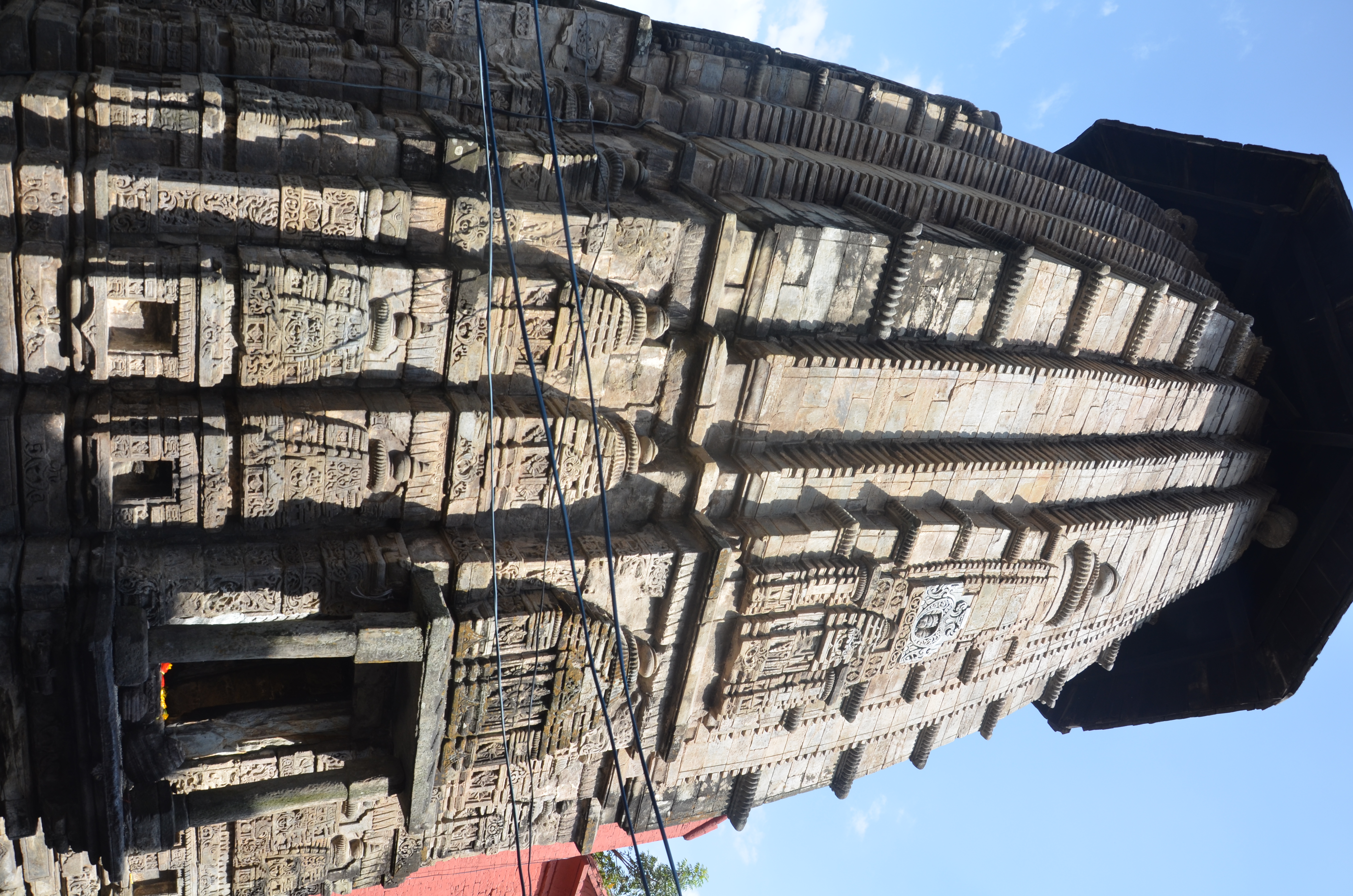
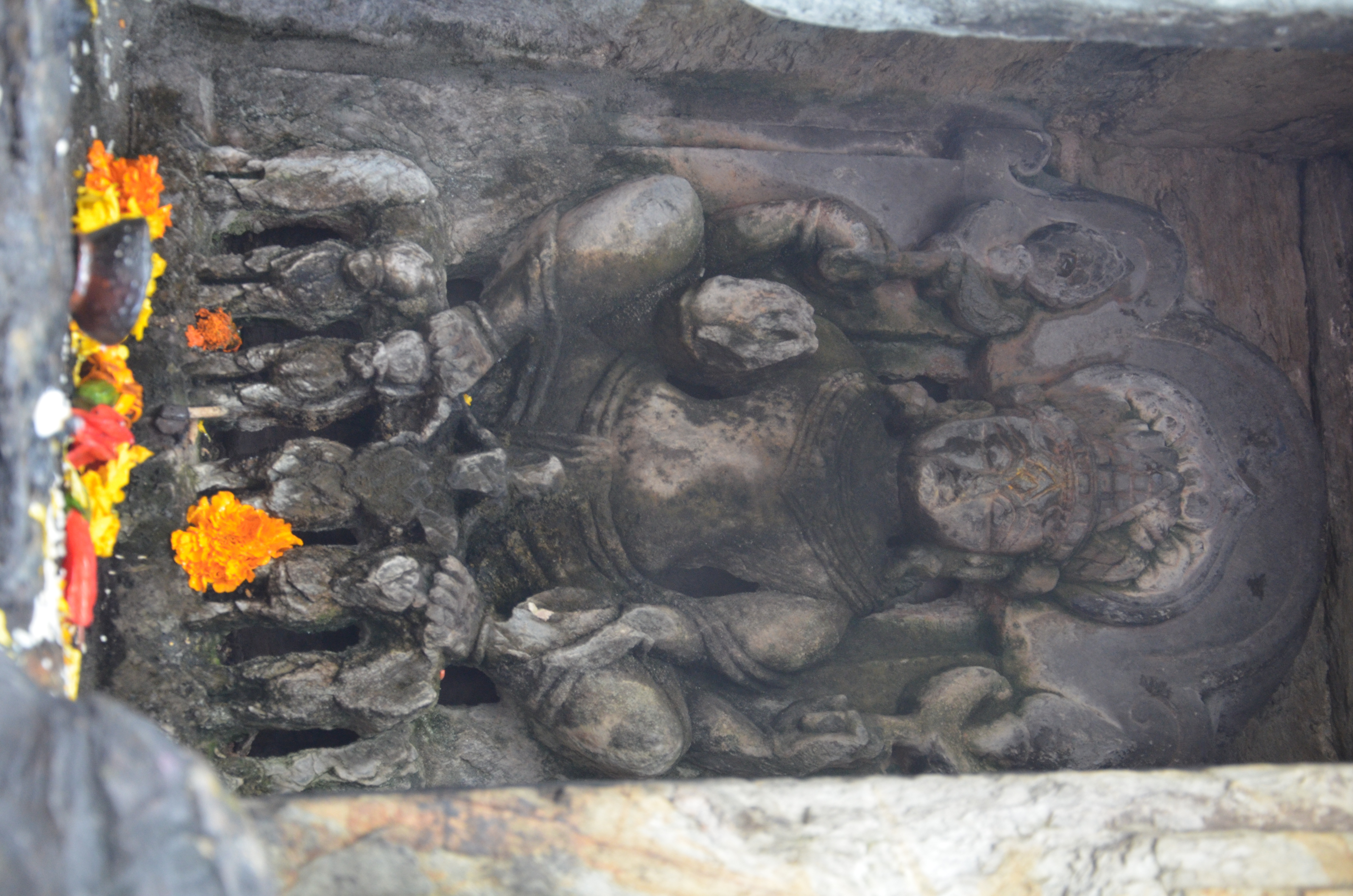
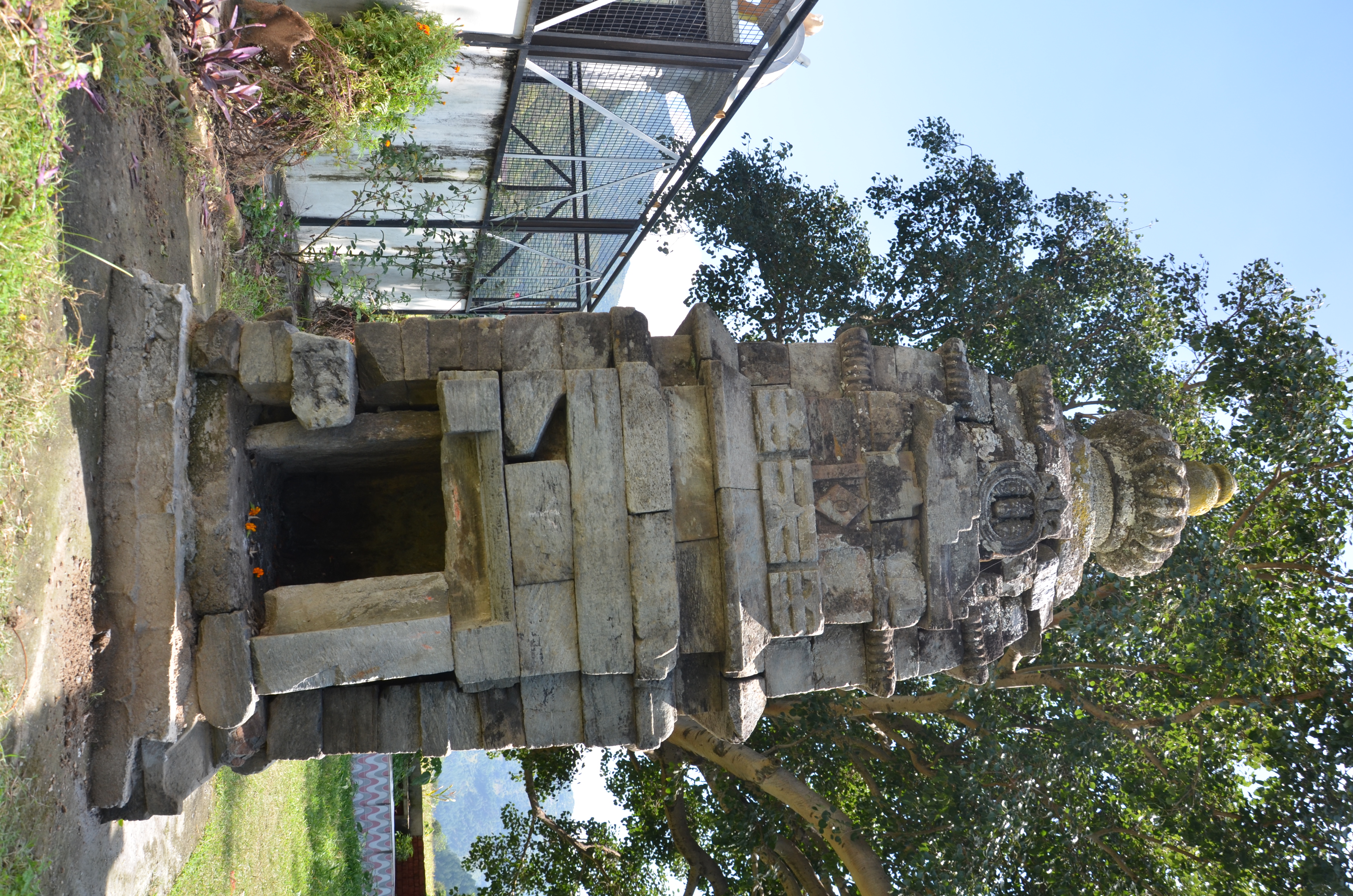
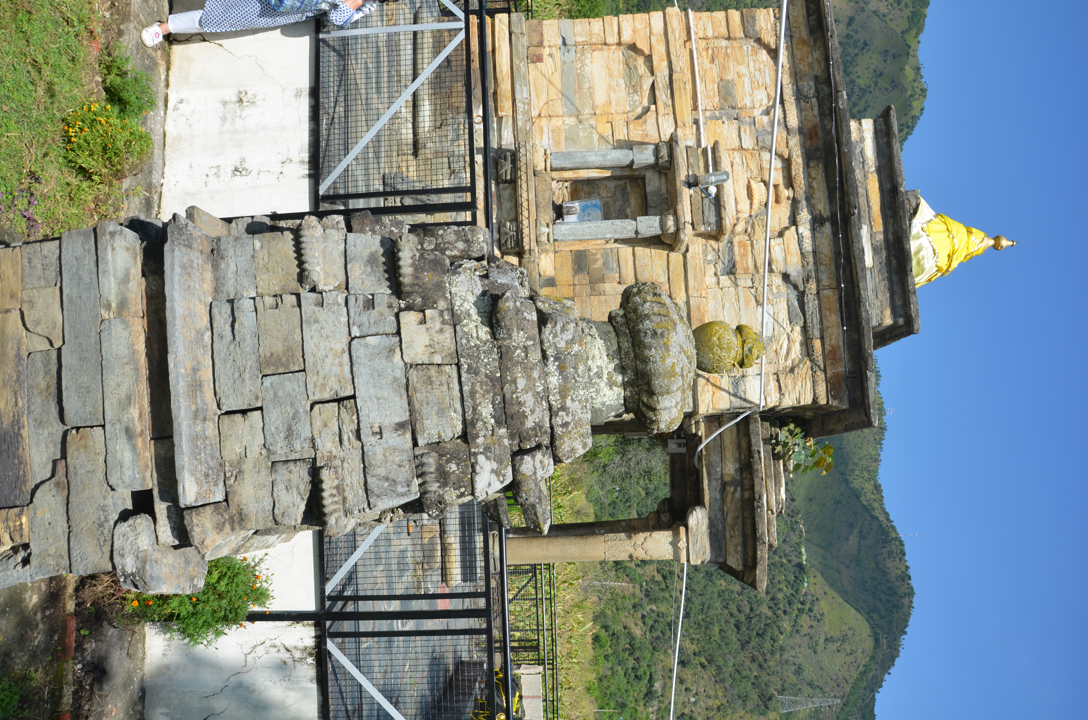
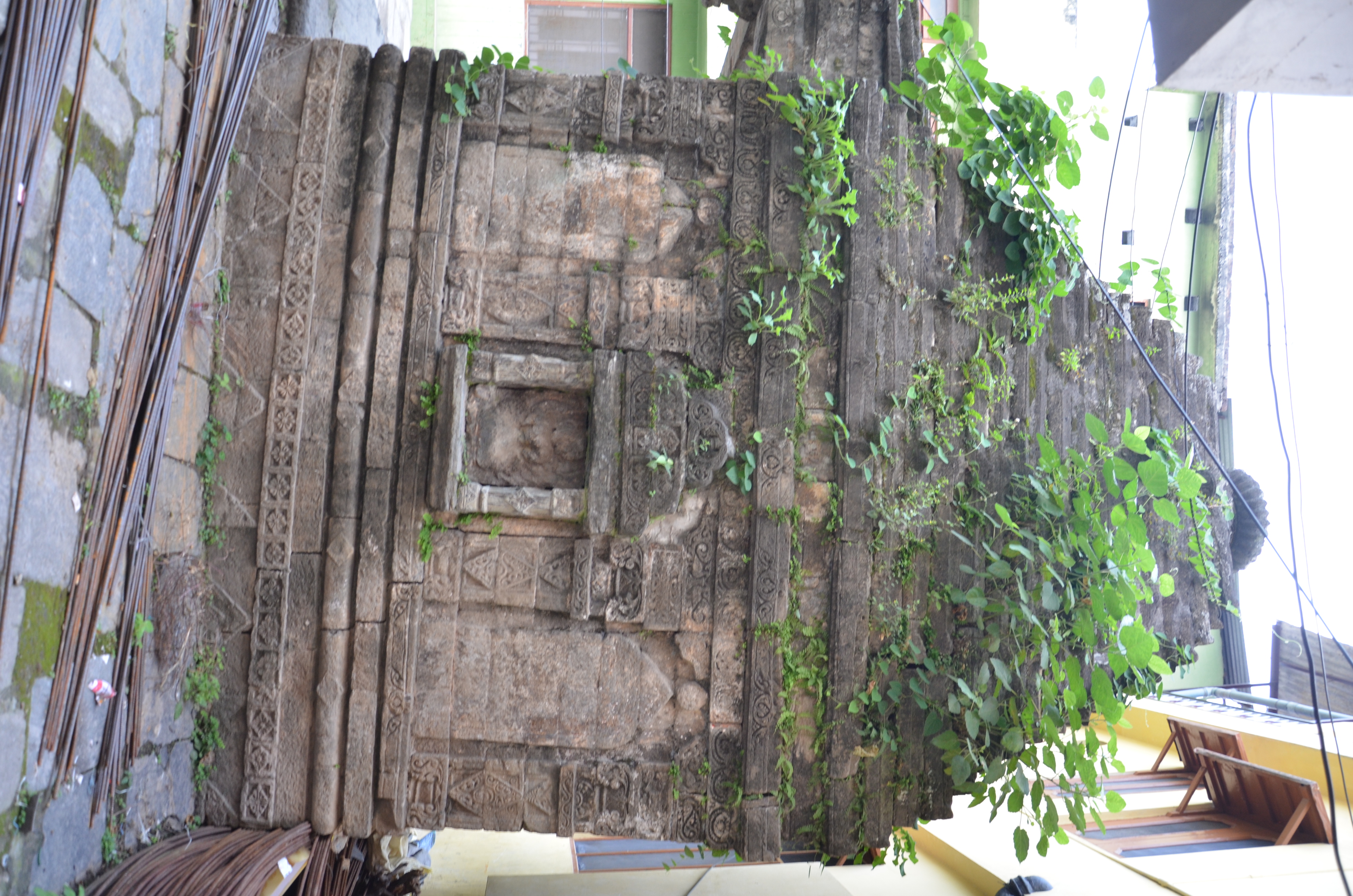
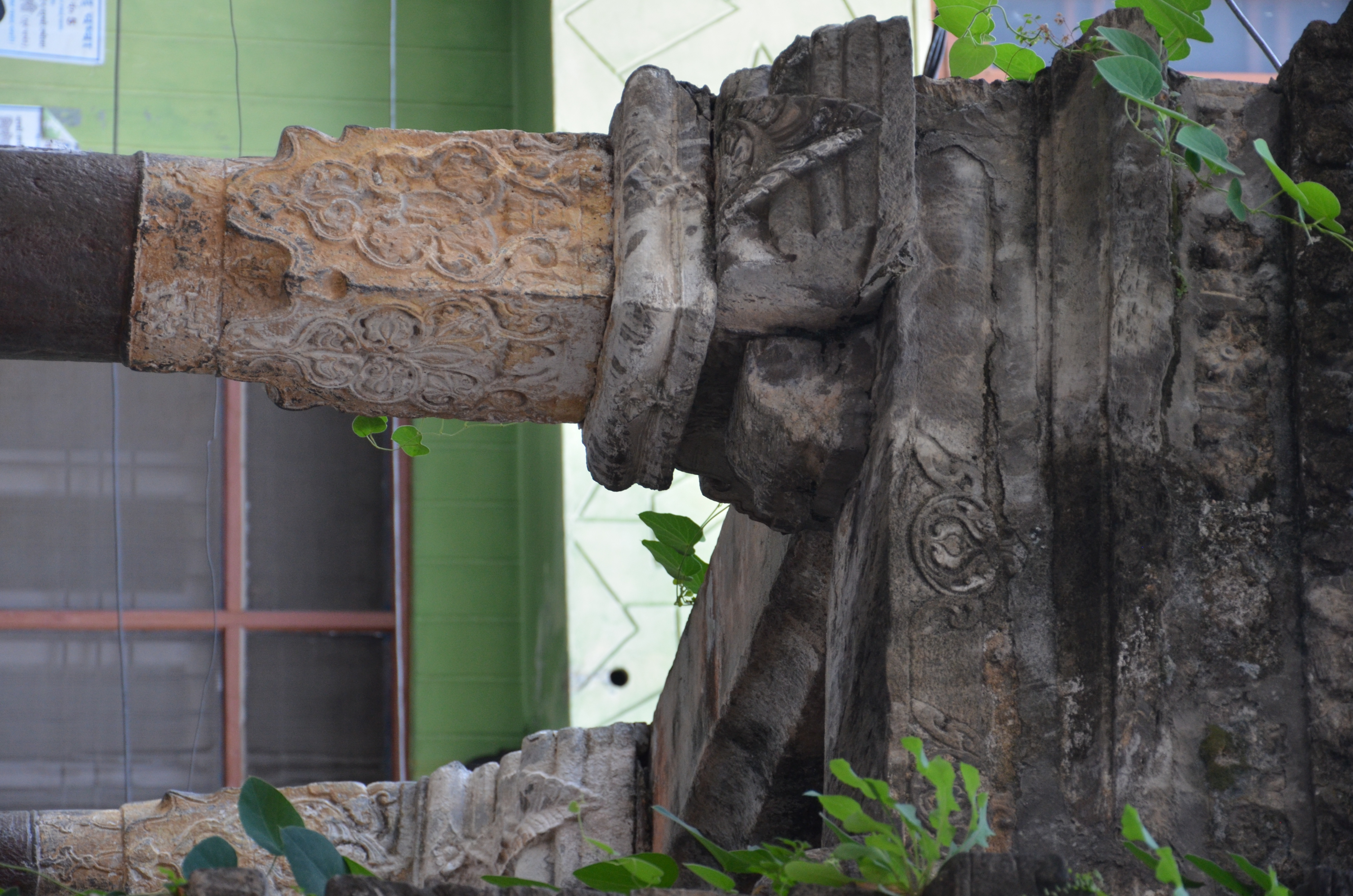
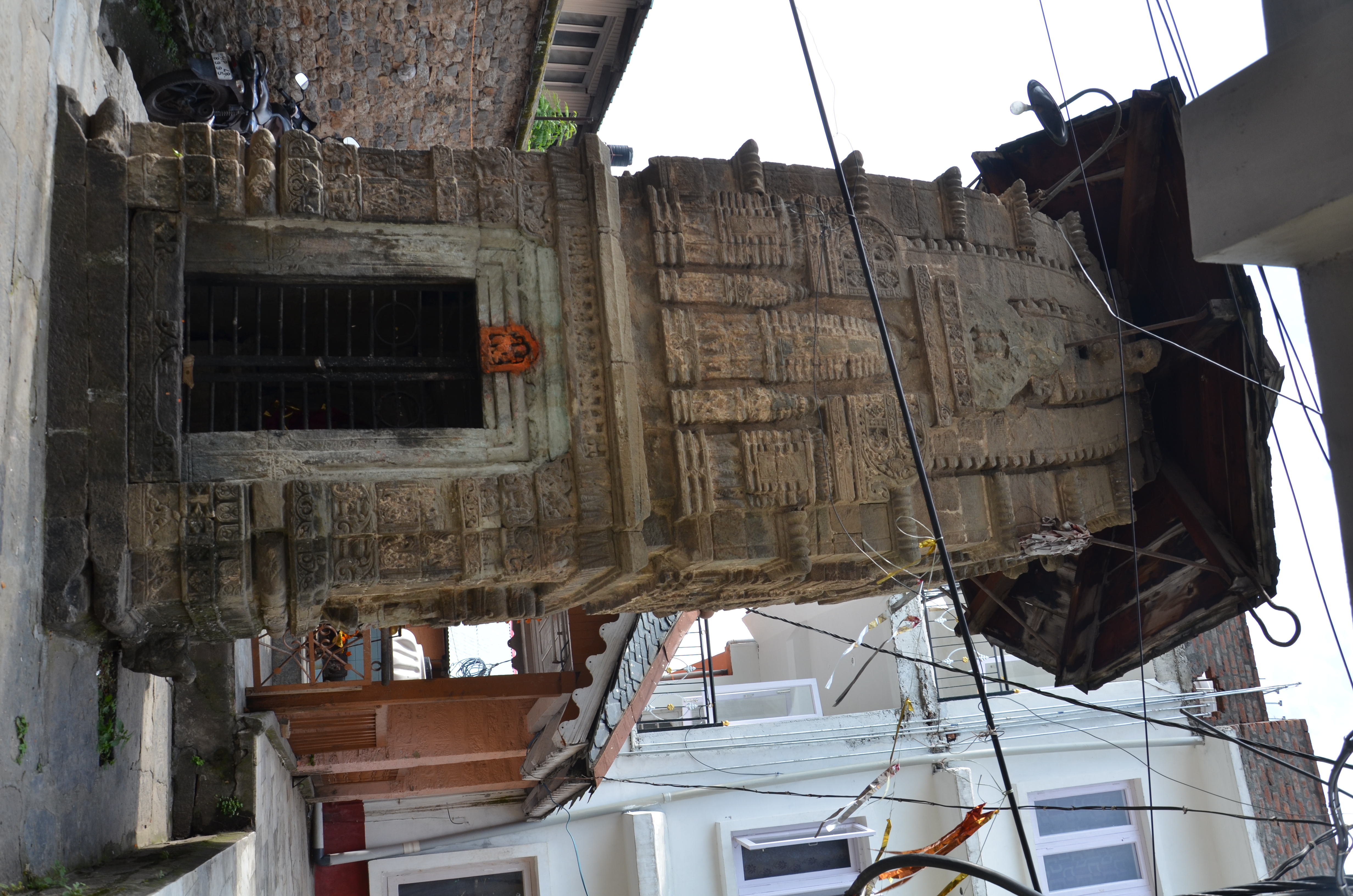
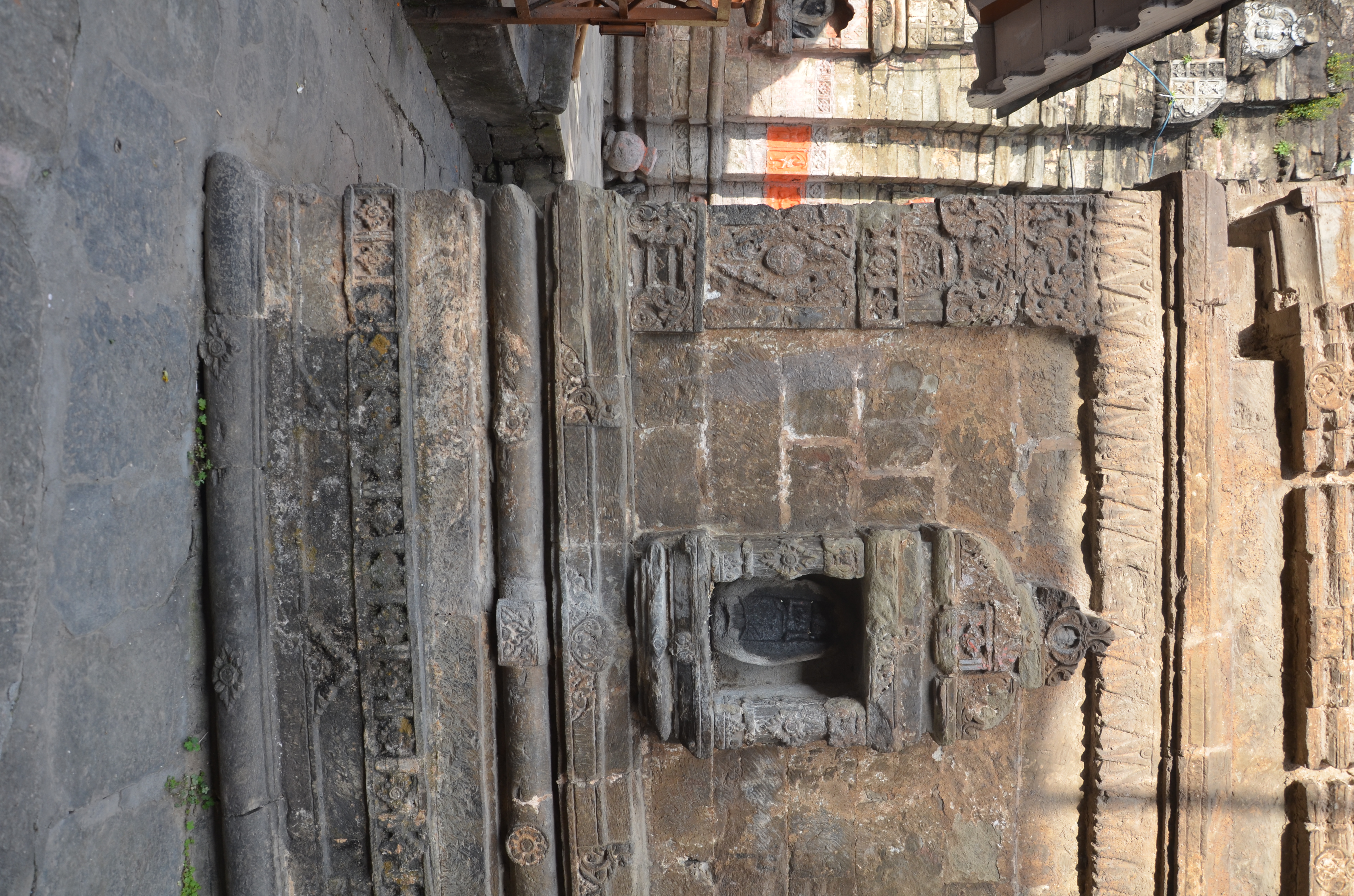
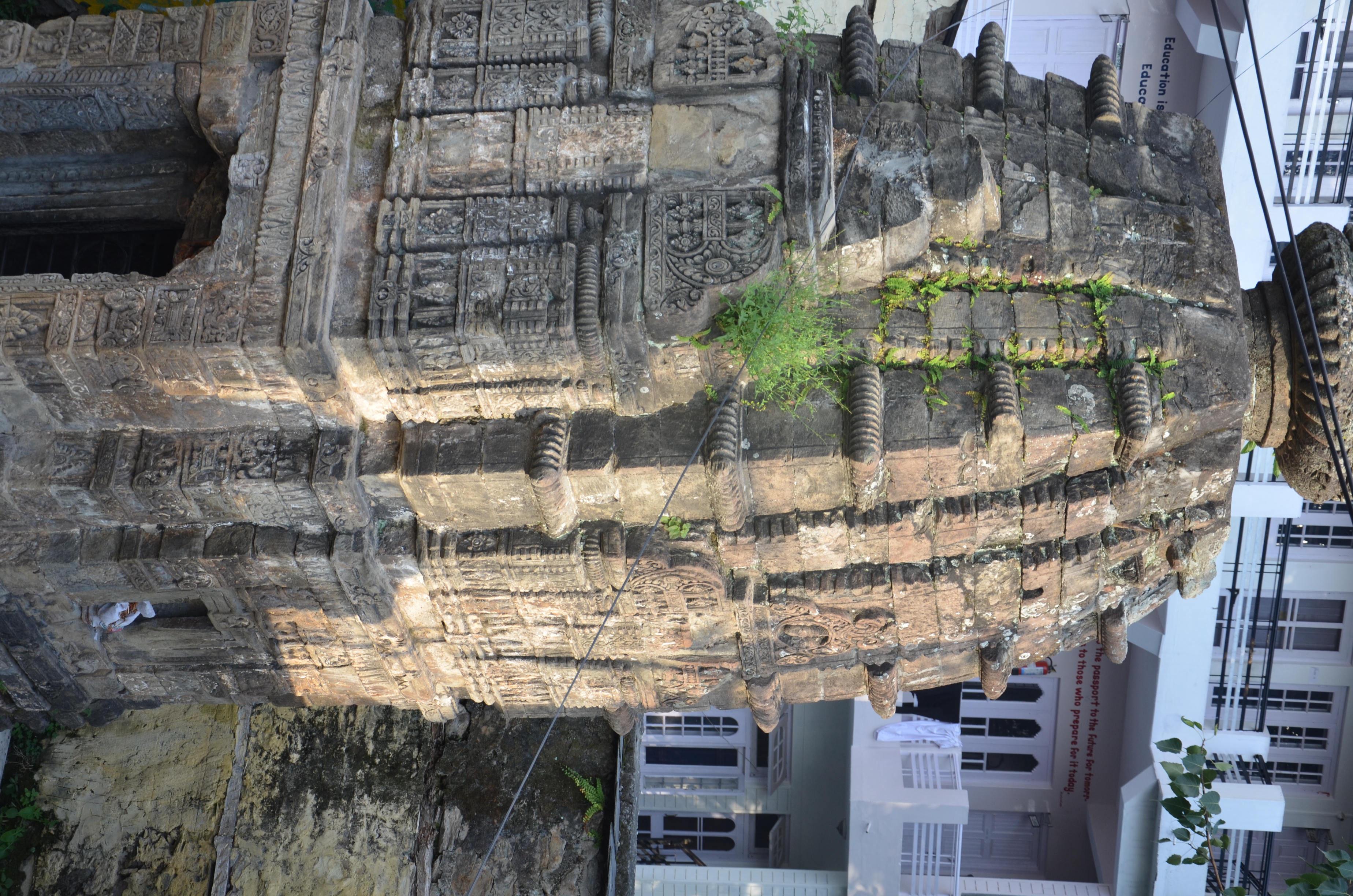
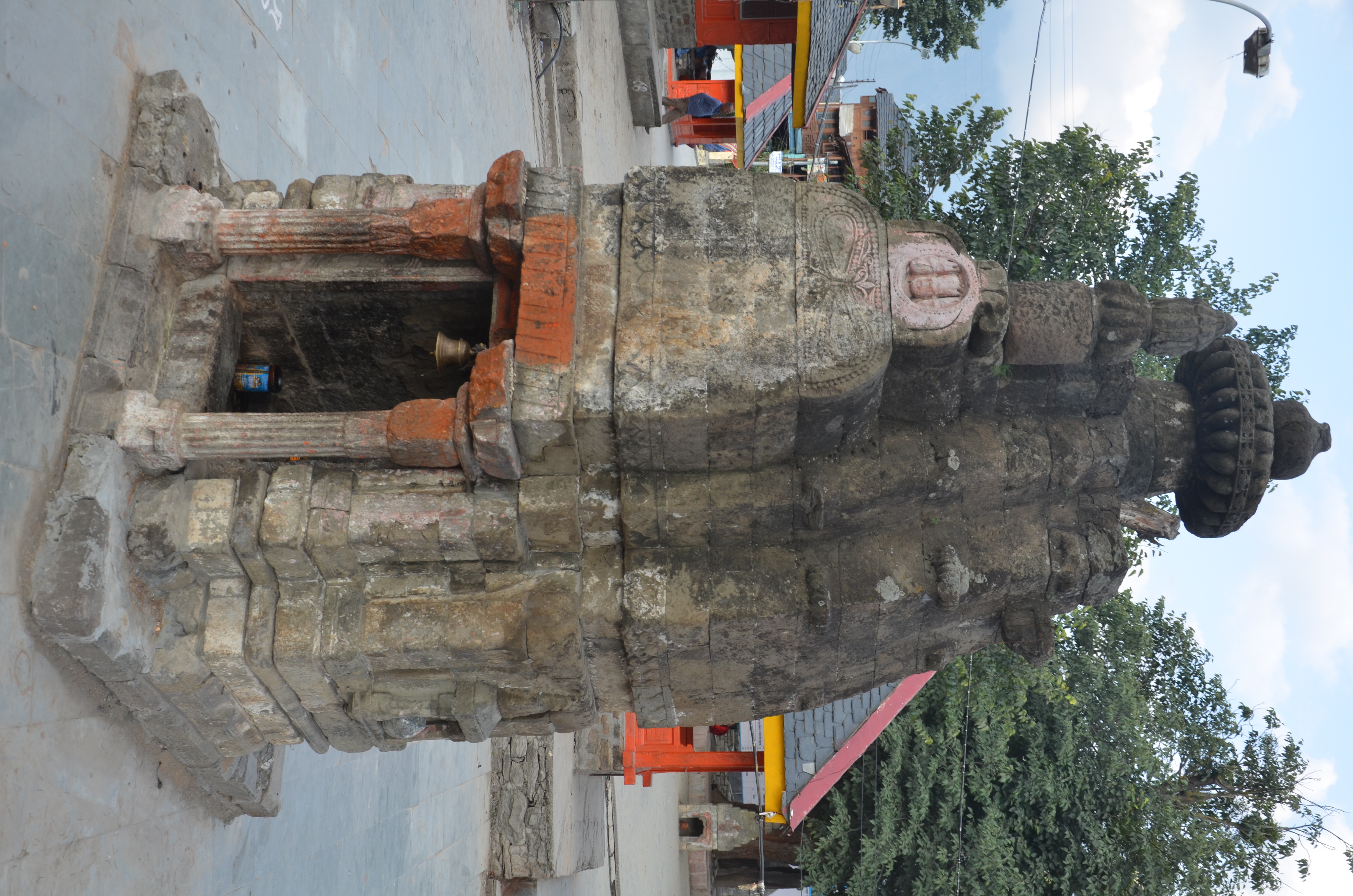
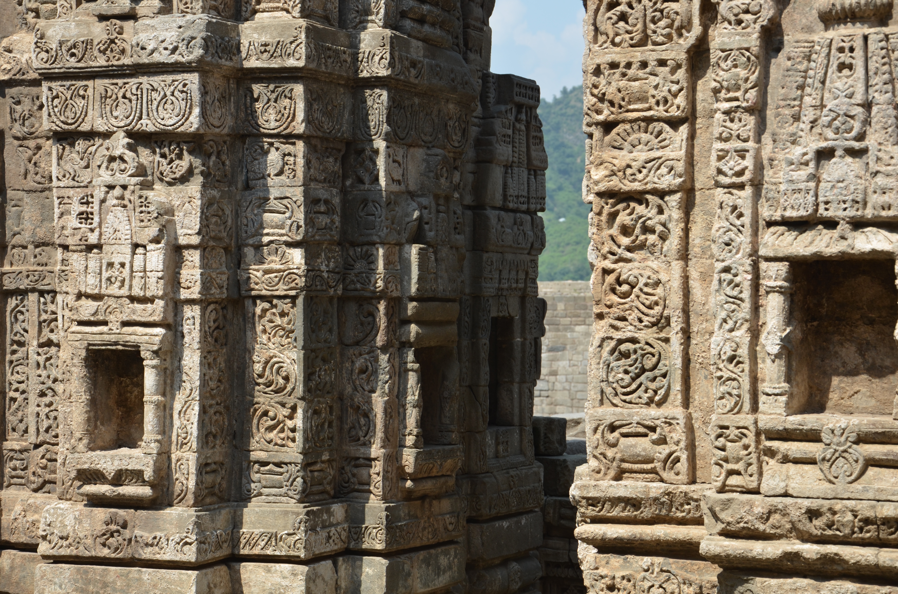
Its remoteness has secured the survival of the cultural heritage of Chamba well. Although Chamba has the oldest temples still in use in the whole of the Western Himalayas and its foot hills, its cultural heritage has been comparatively little studied. The “Digital Chamba Project” aims at presenting a number of selected cultural achievements that were made in the region. This includes (1) intact architectural works (temples, shrines, fountain structures) as well as fragmented or single architectural pieces (portals, sukhanasa or pediment elements, amalakas), (2) sculptures which are either still in place or moved to and re-configured in new shrines, and (3) mural paintings that reflect the art of the Mughal court. In addition, several case studies investigate the impact of Chamba on its neighbouring regions in the field of sculptural art and architectural design, in particular the interaction and exchange with Kulu, Kangra, Lahul and even Ladakh. It is a study not limited by political and geographic boundaries but enhanced by the active relations that connected the various regions through the trans-Himalayan networks traffic routes that were used by armies, traders, artists and pilgrims alike.
– Chamba
– Swai
– Lakṣaṇā Devī – outer portal I
– Lakṣaṇā Devī – outer portal II
– Lakṣaṇā Devī – inner portal
– Chamesan Champāvatī – temple
– Chamesan Champāvatī – portal
– Minor / Misc I
– Minor / Misc II
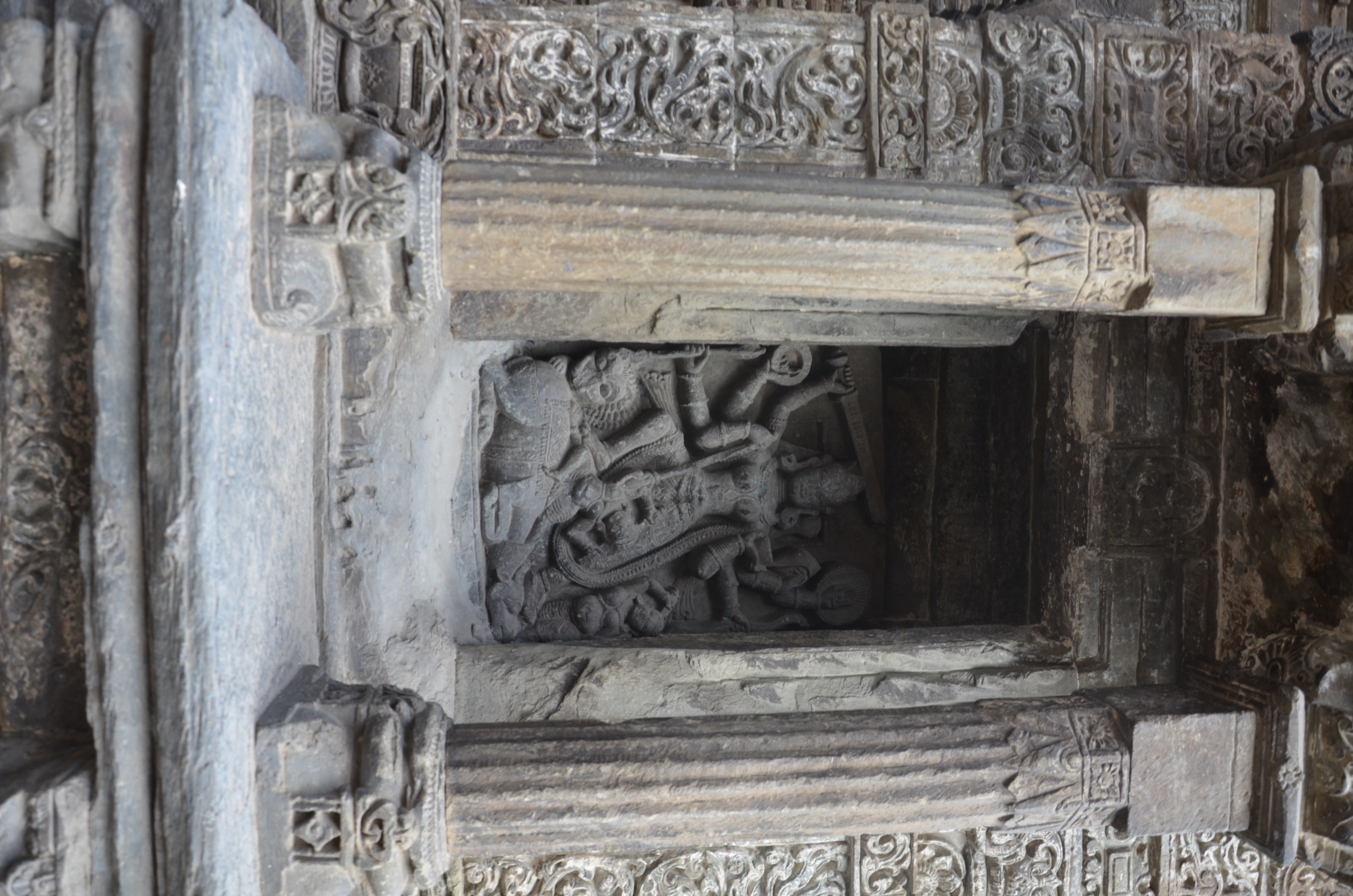
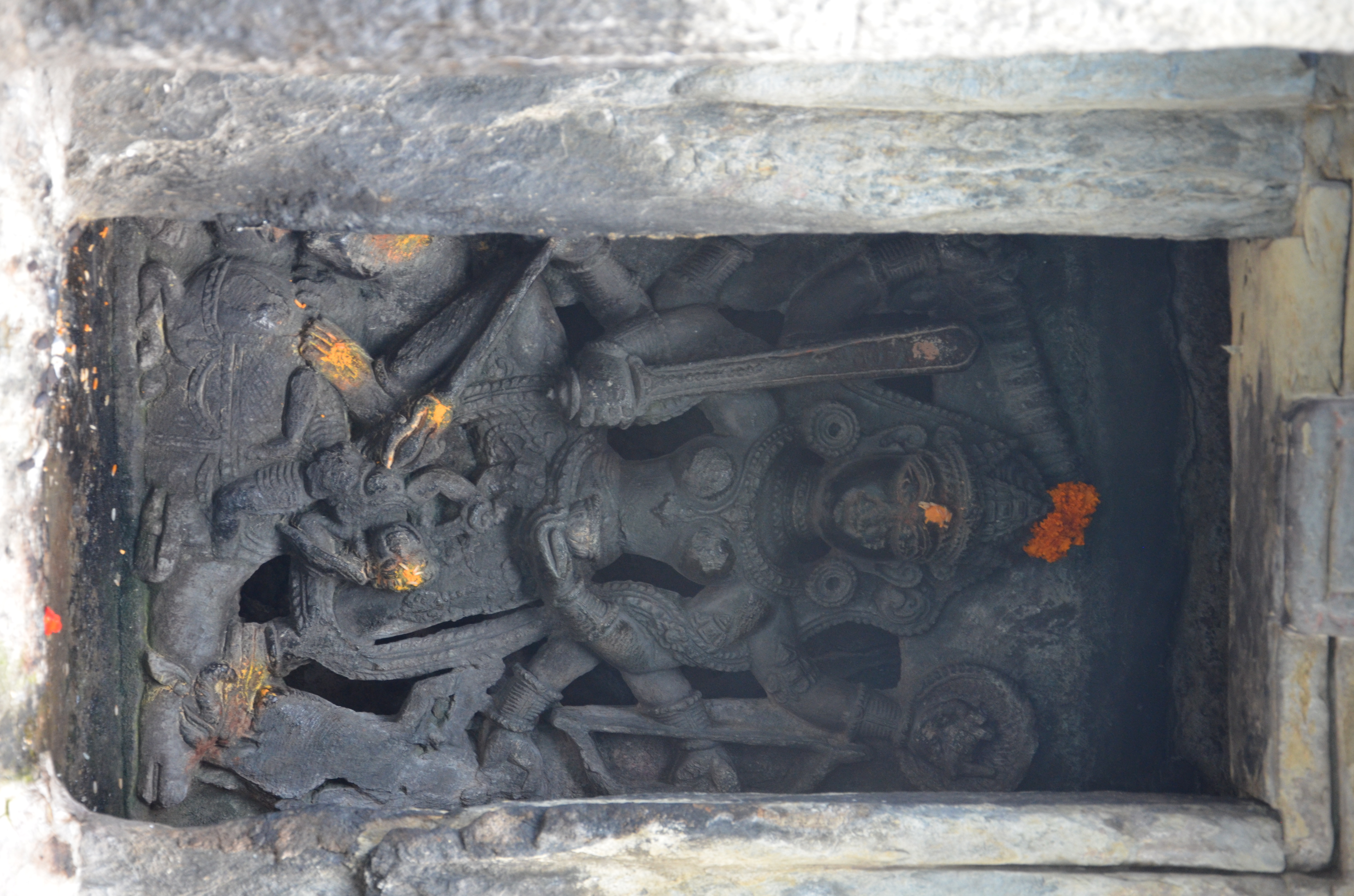
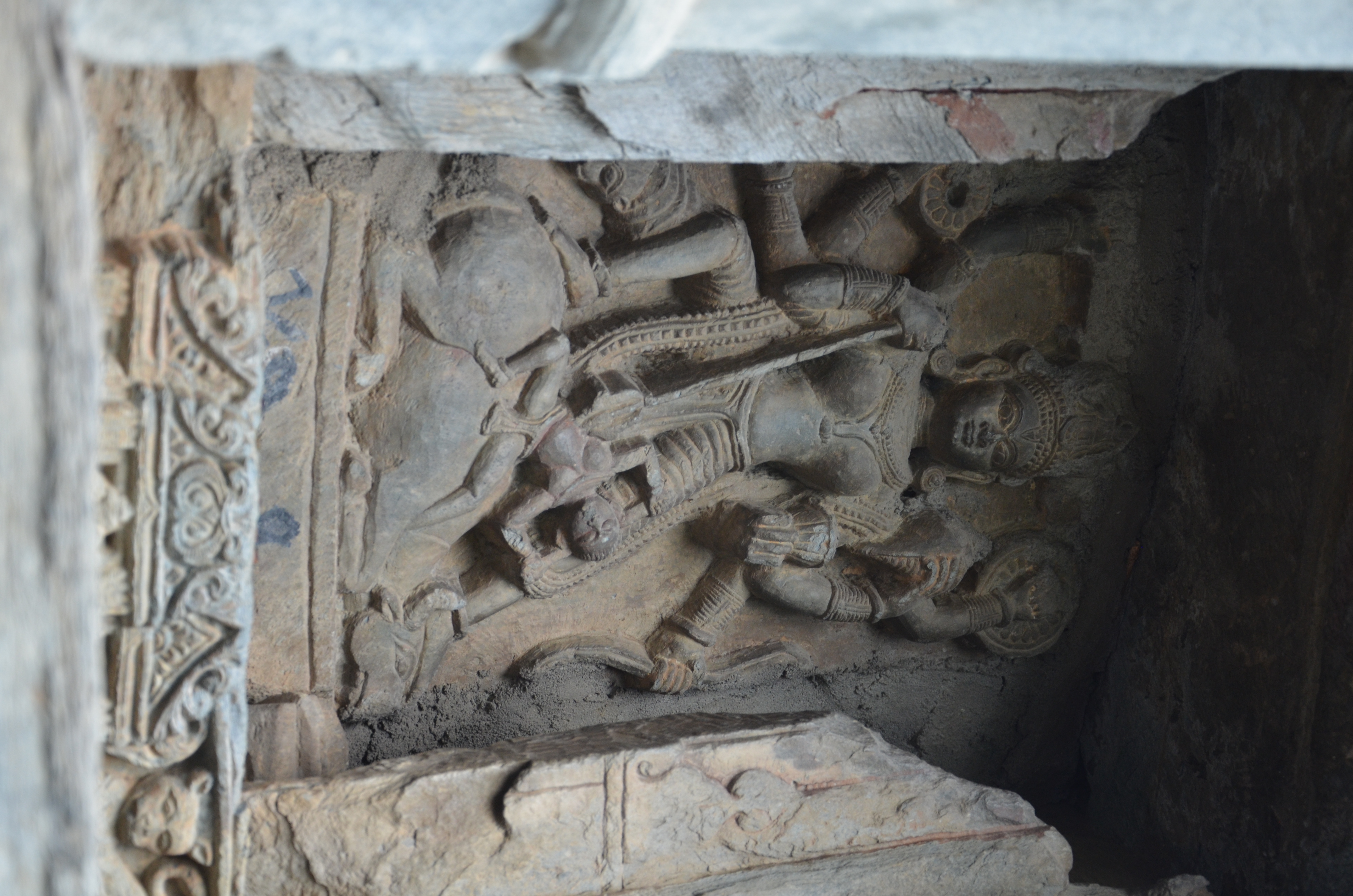
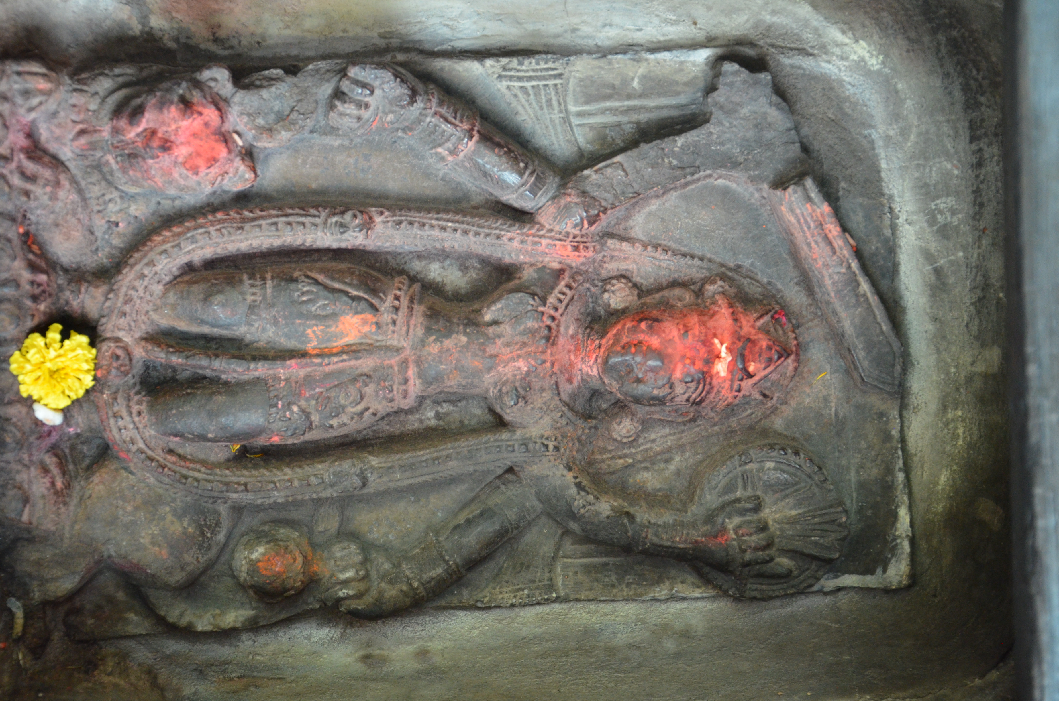
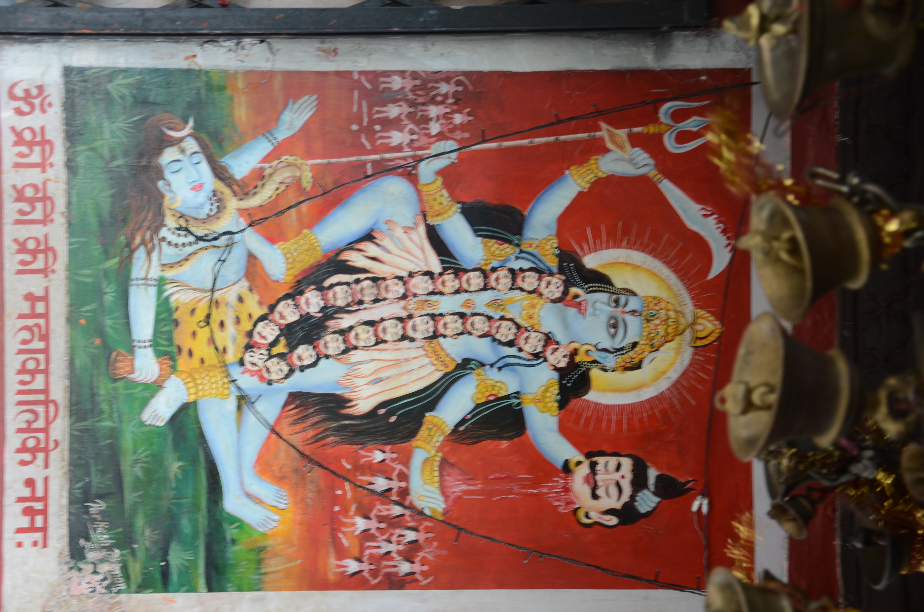
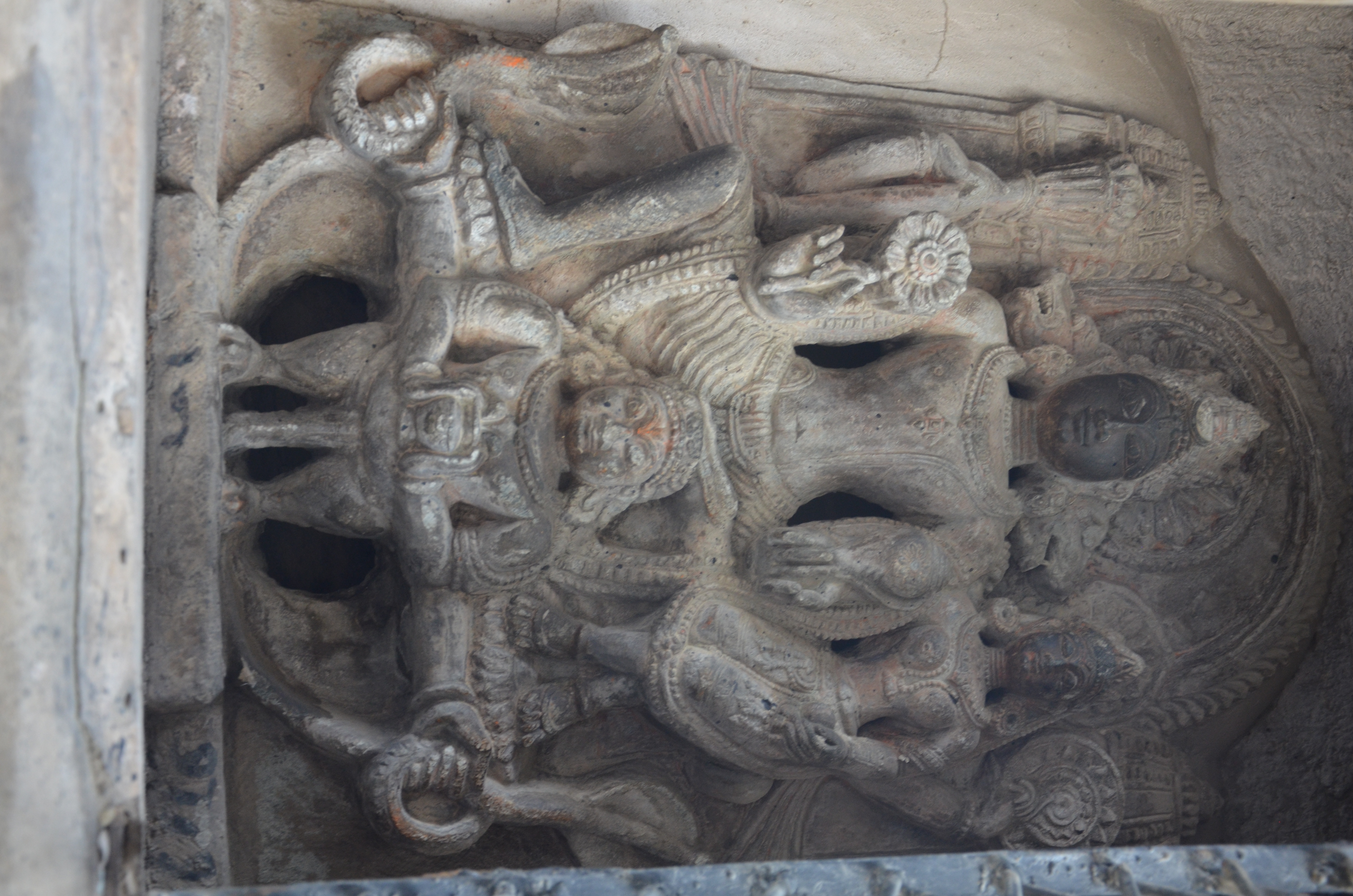
– Durgā I
– Durgā II
– Durgā as Bhīmadevī
– Chamunda
– District Court
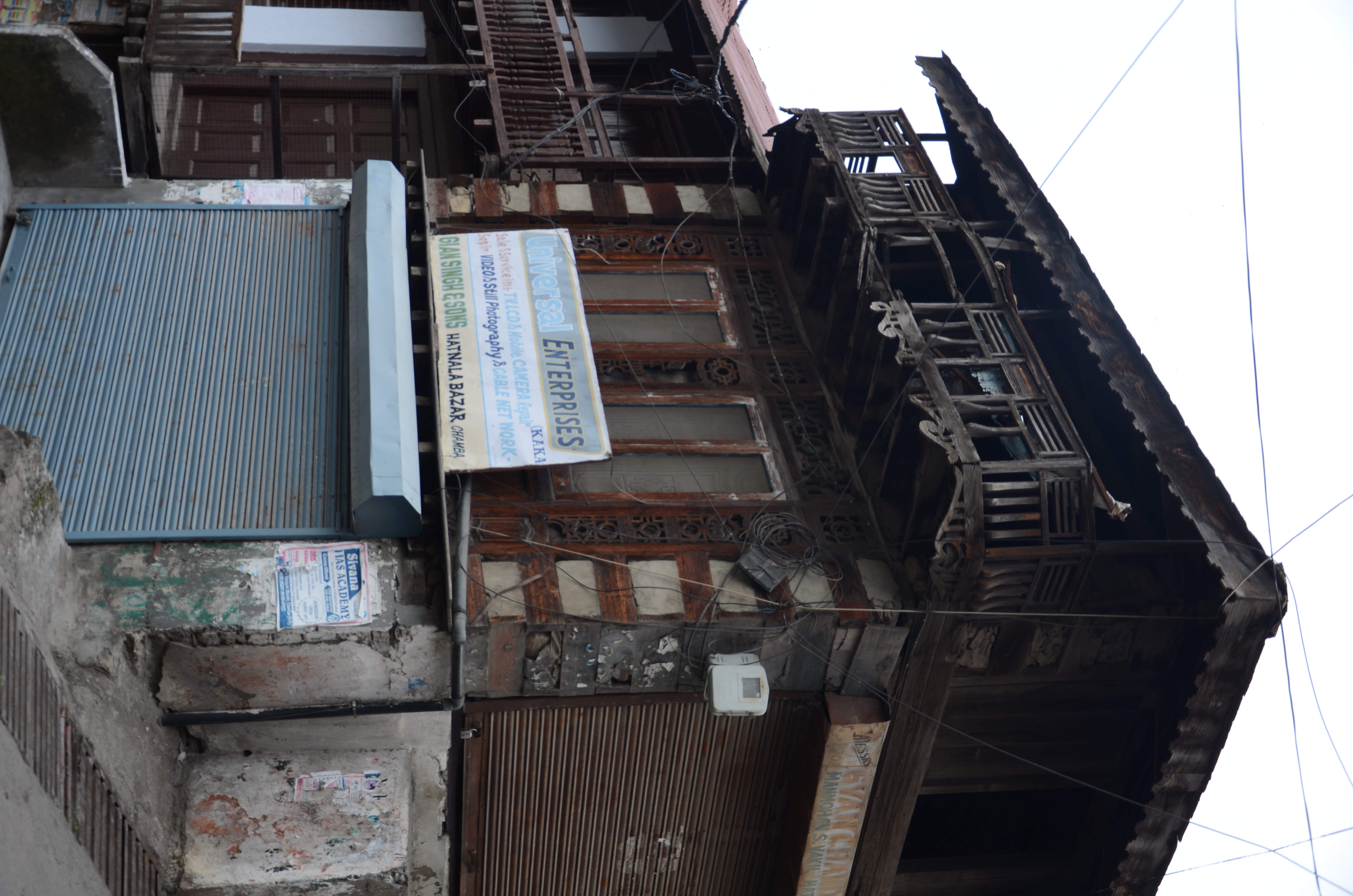
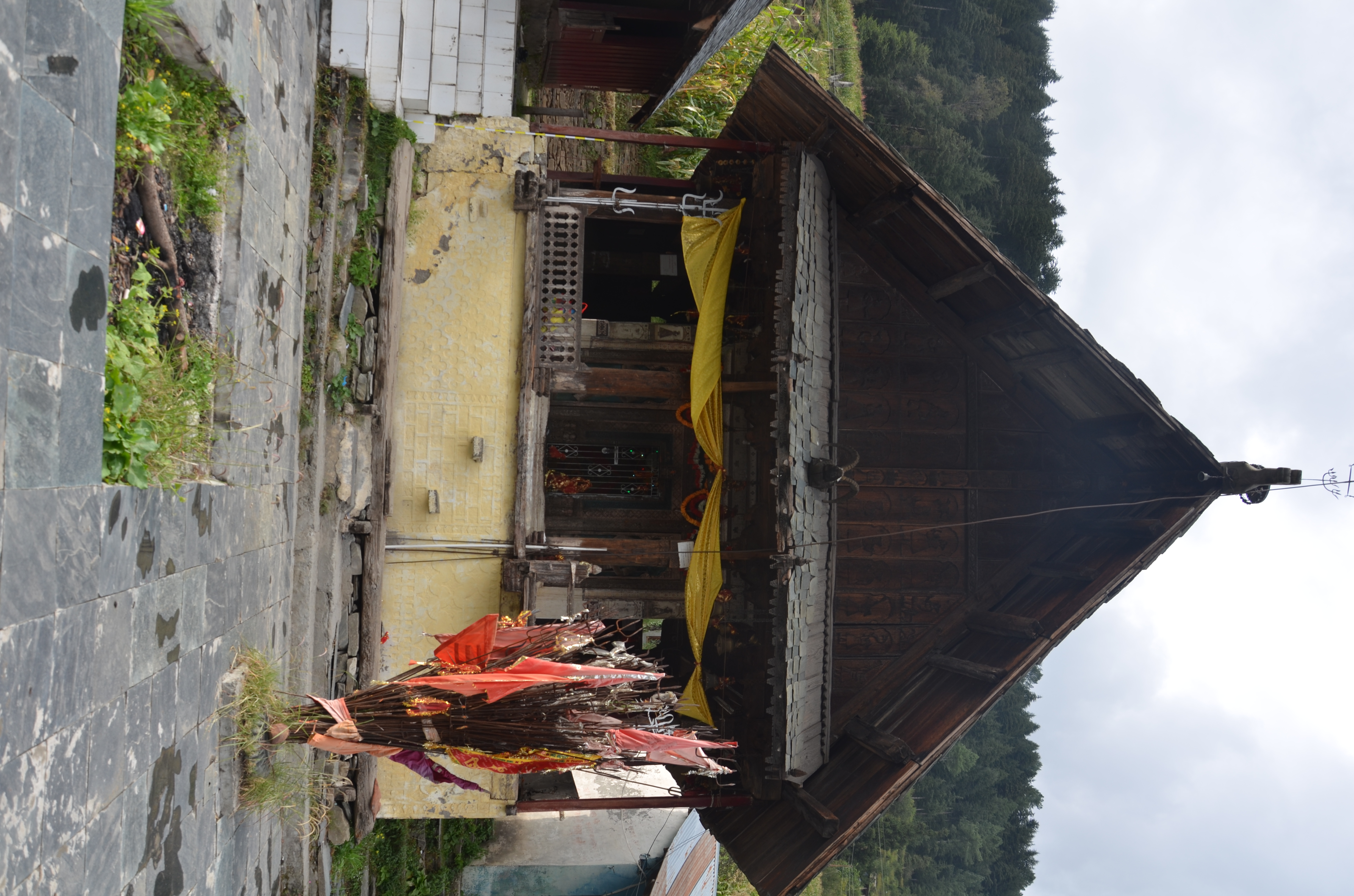
– Wooden architecture
– Chatrarhi – Umāmaheśvara
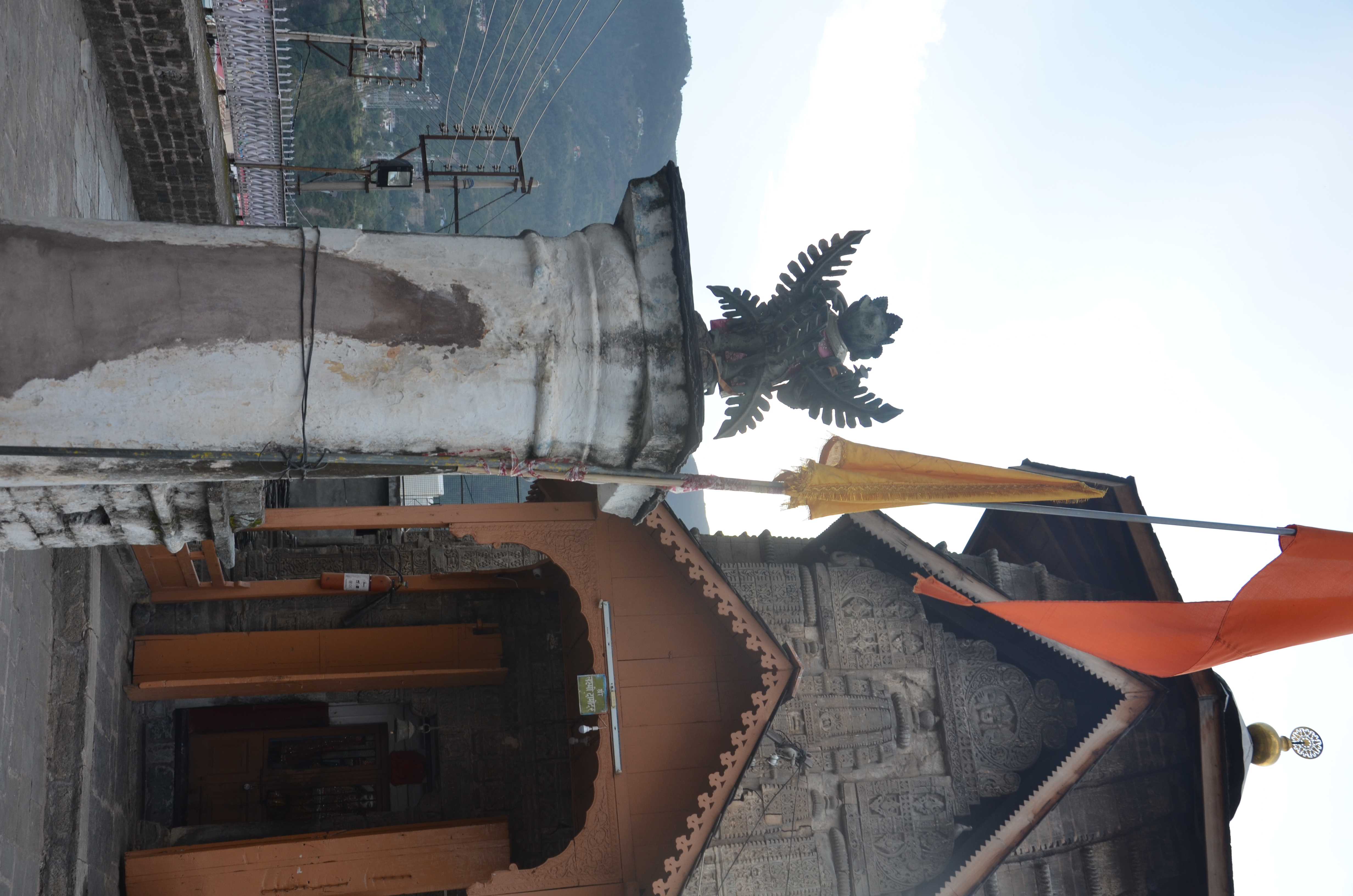
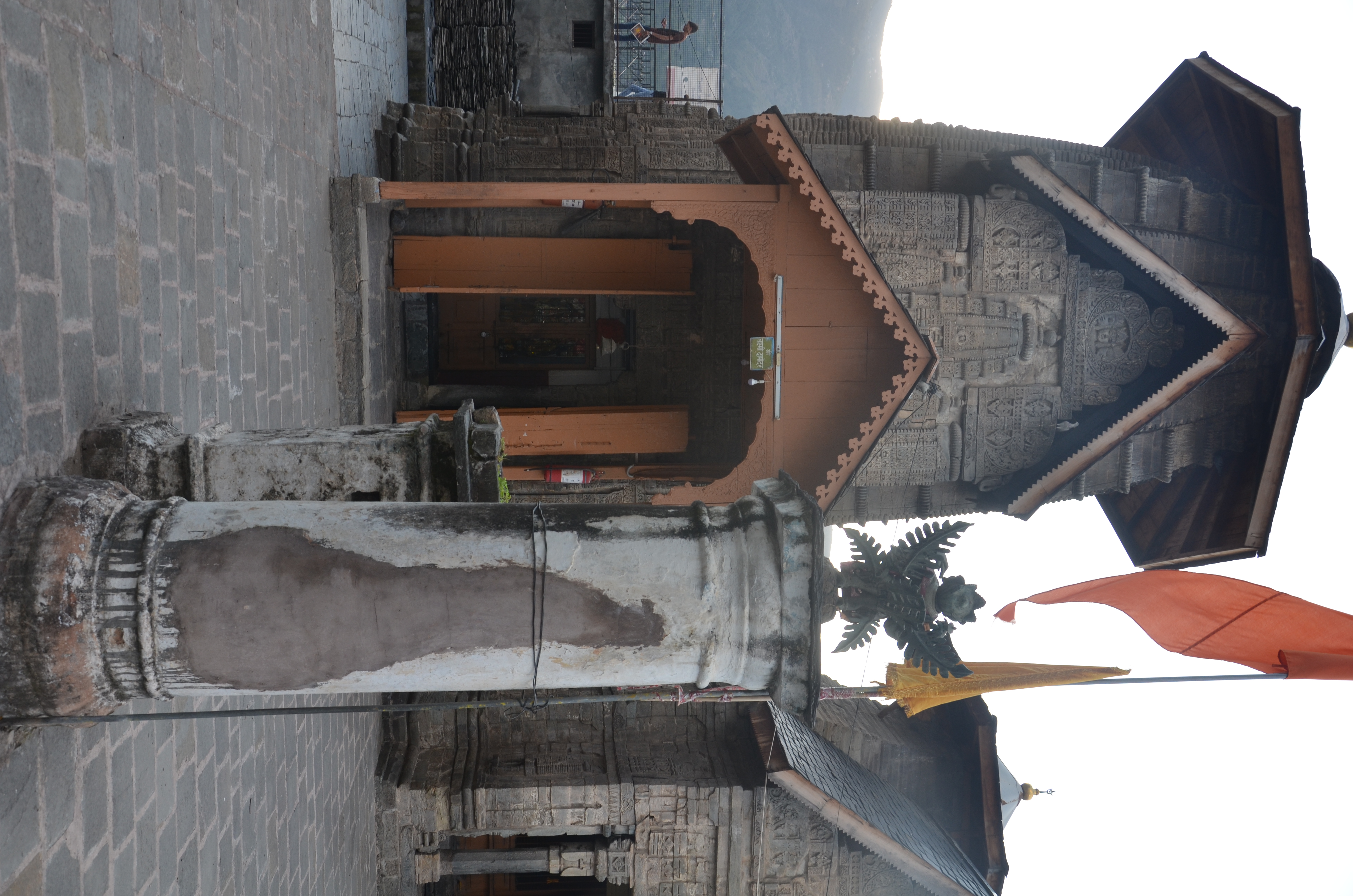
– Lakṣmī Damodara
– Lakṣmī-Nārāyaṇa Temple Complex
– Sūrya
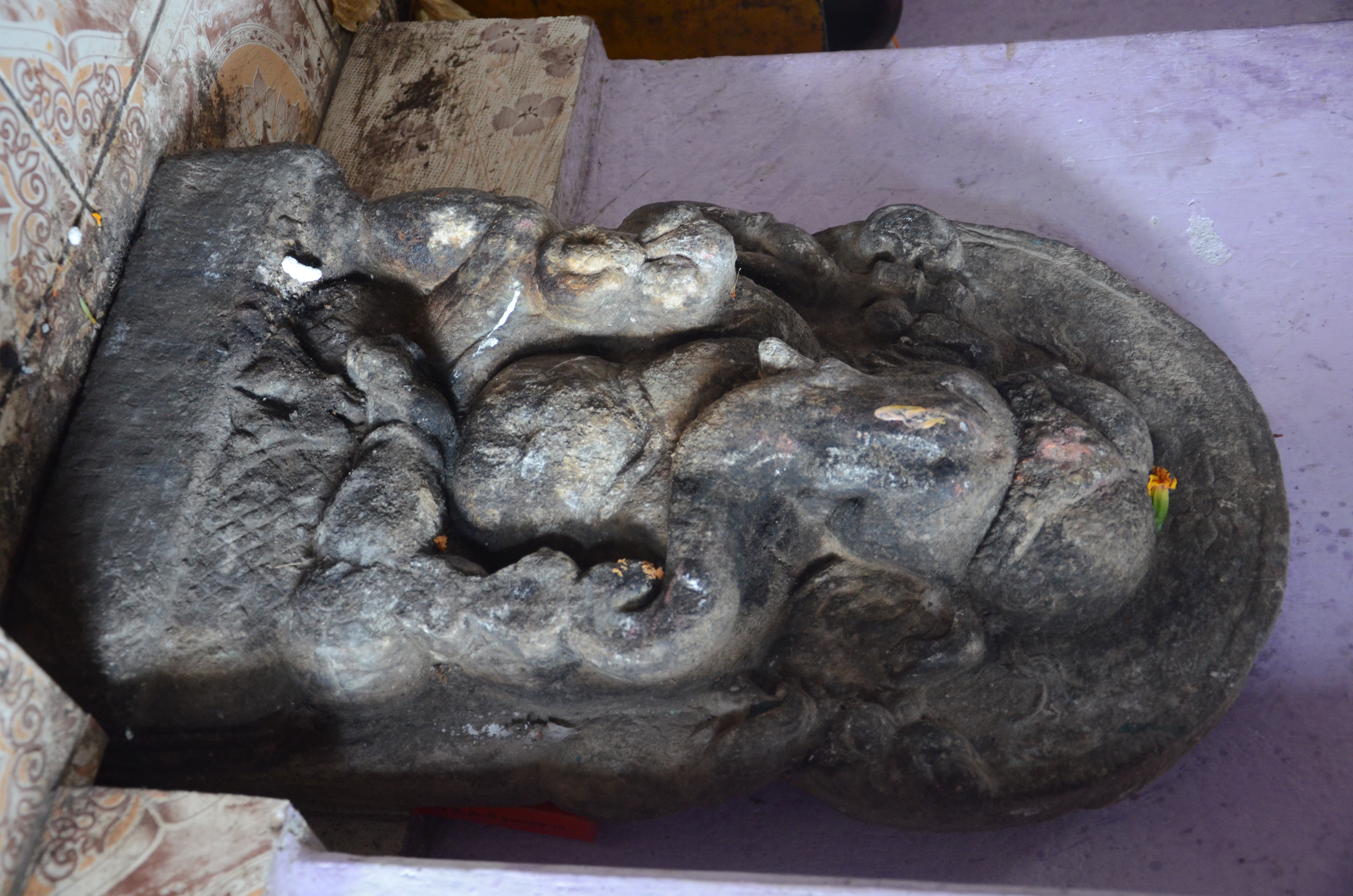
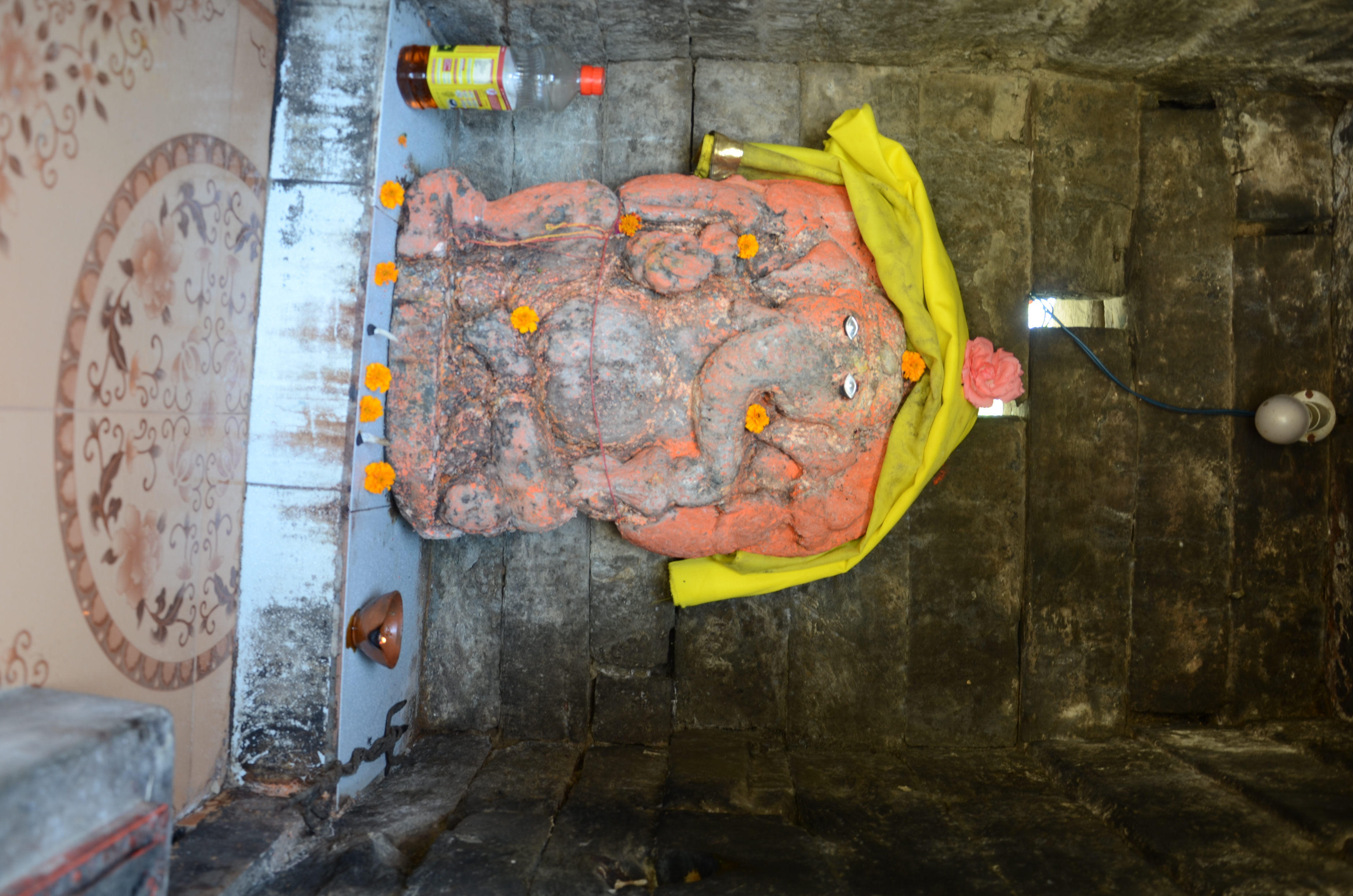
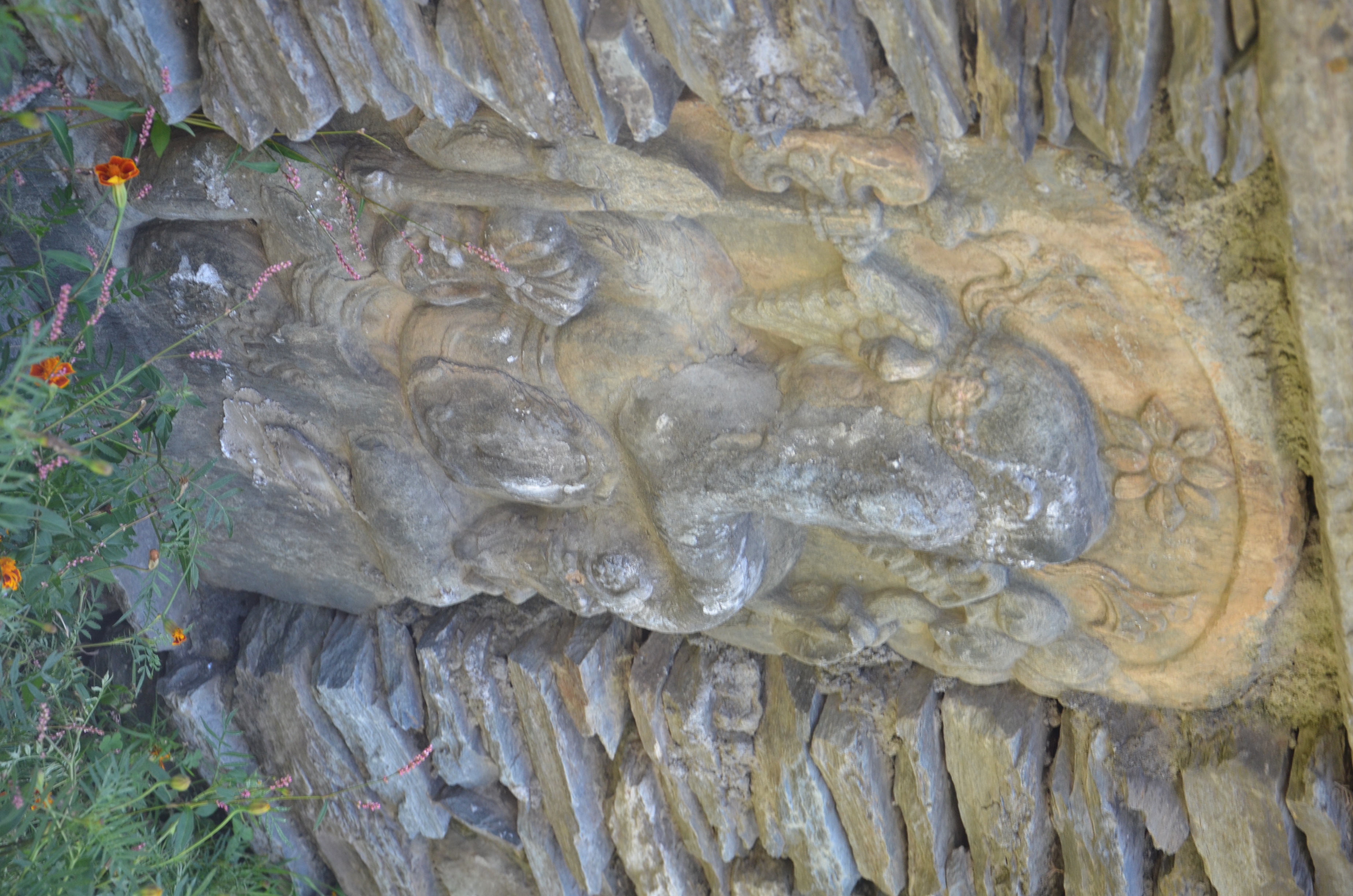
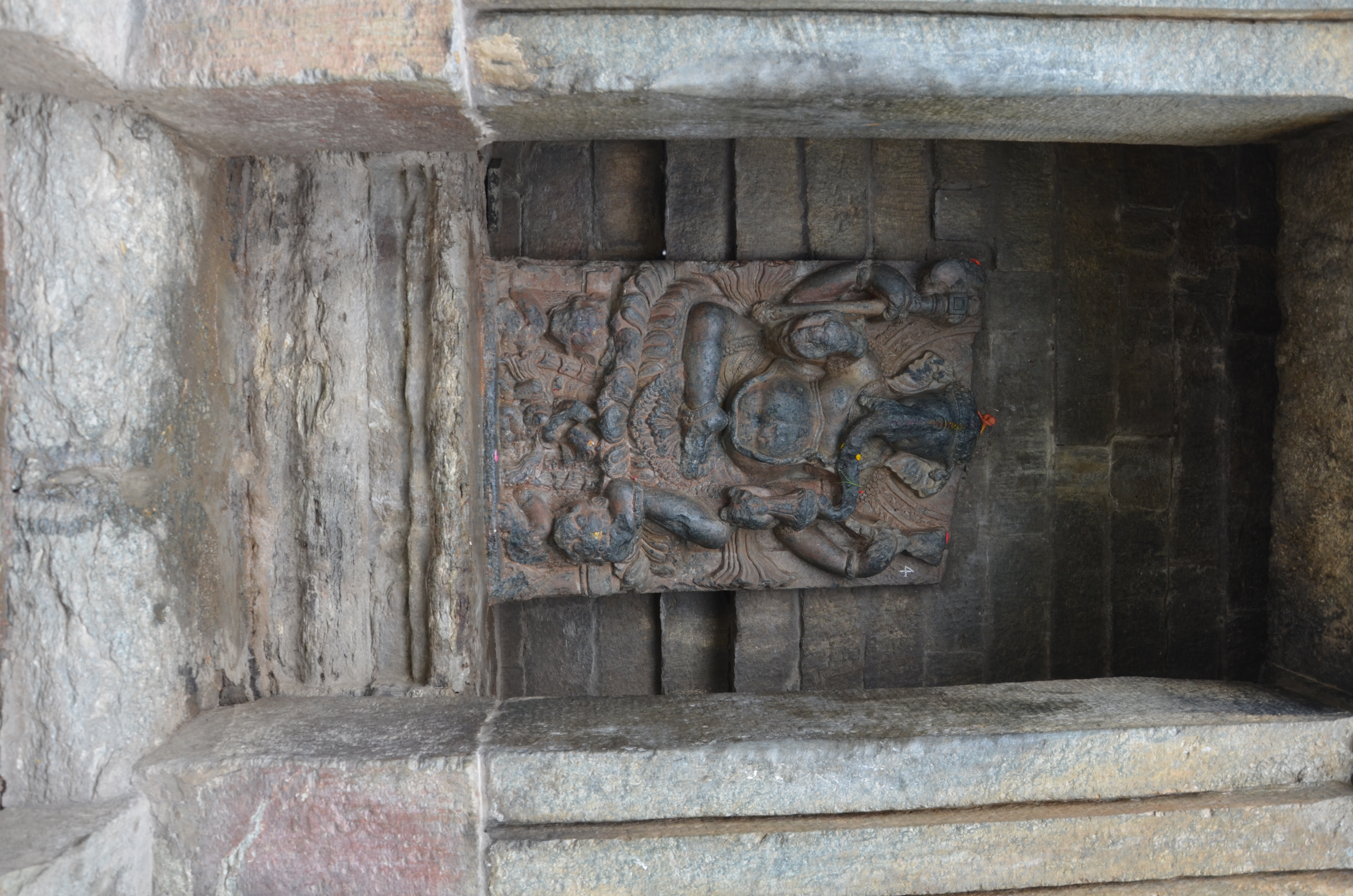
– Gaṇeśa
– Gaṇeśa Conches
– Chatrarhi – compound
– Chatrarhi – inner portal
– Kharura neighbourhood – temple I
– Kharura neighbourhood – temple II
– Kharura neighbourhood – temple III
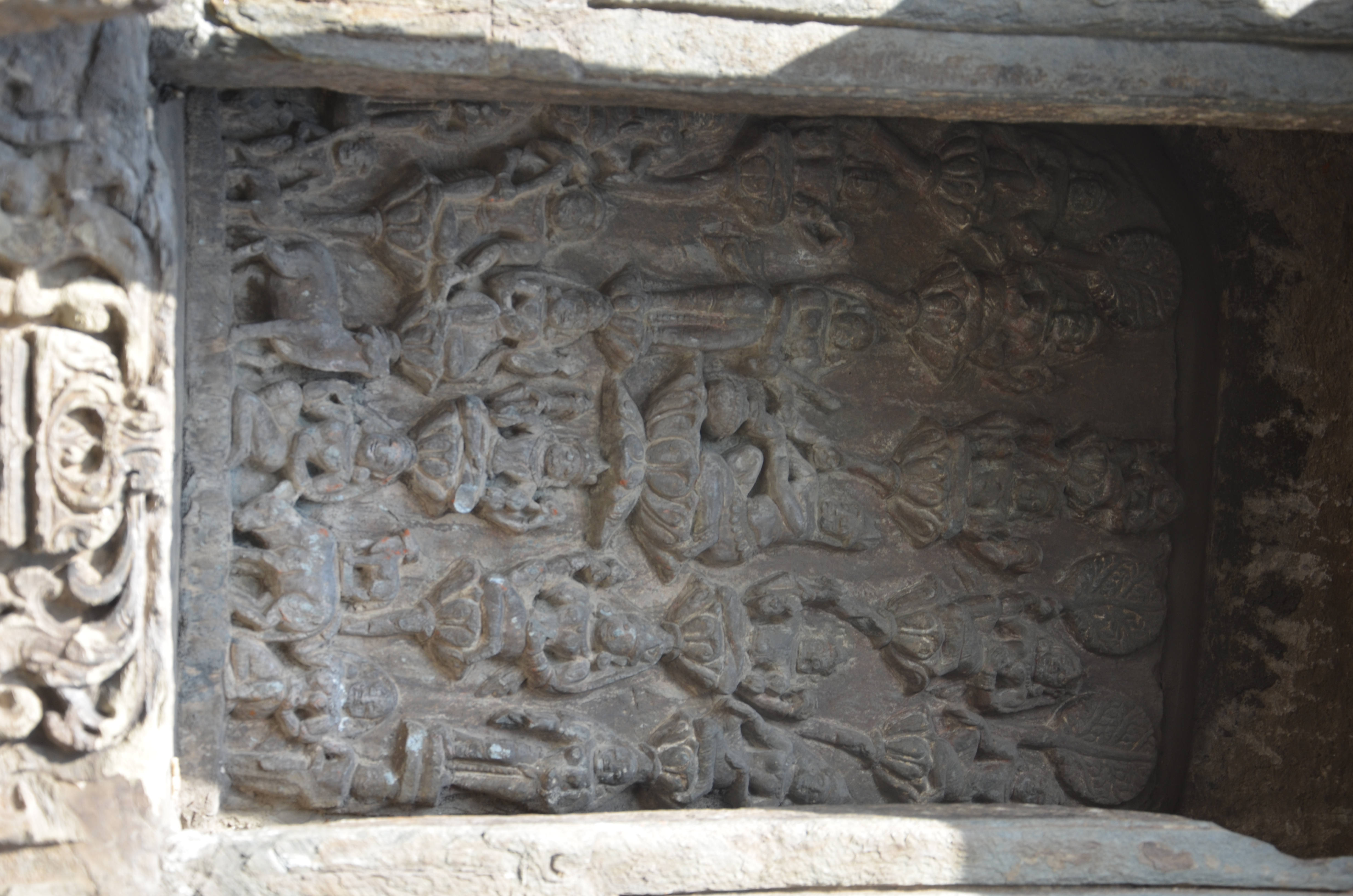
– Chauntra Viṣṇu Vaikuntha Shrine
– Vaikuntha
– Narasiṃha Temple
– Kṛṣṇa panel
– Brahmapura – Minor Temple
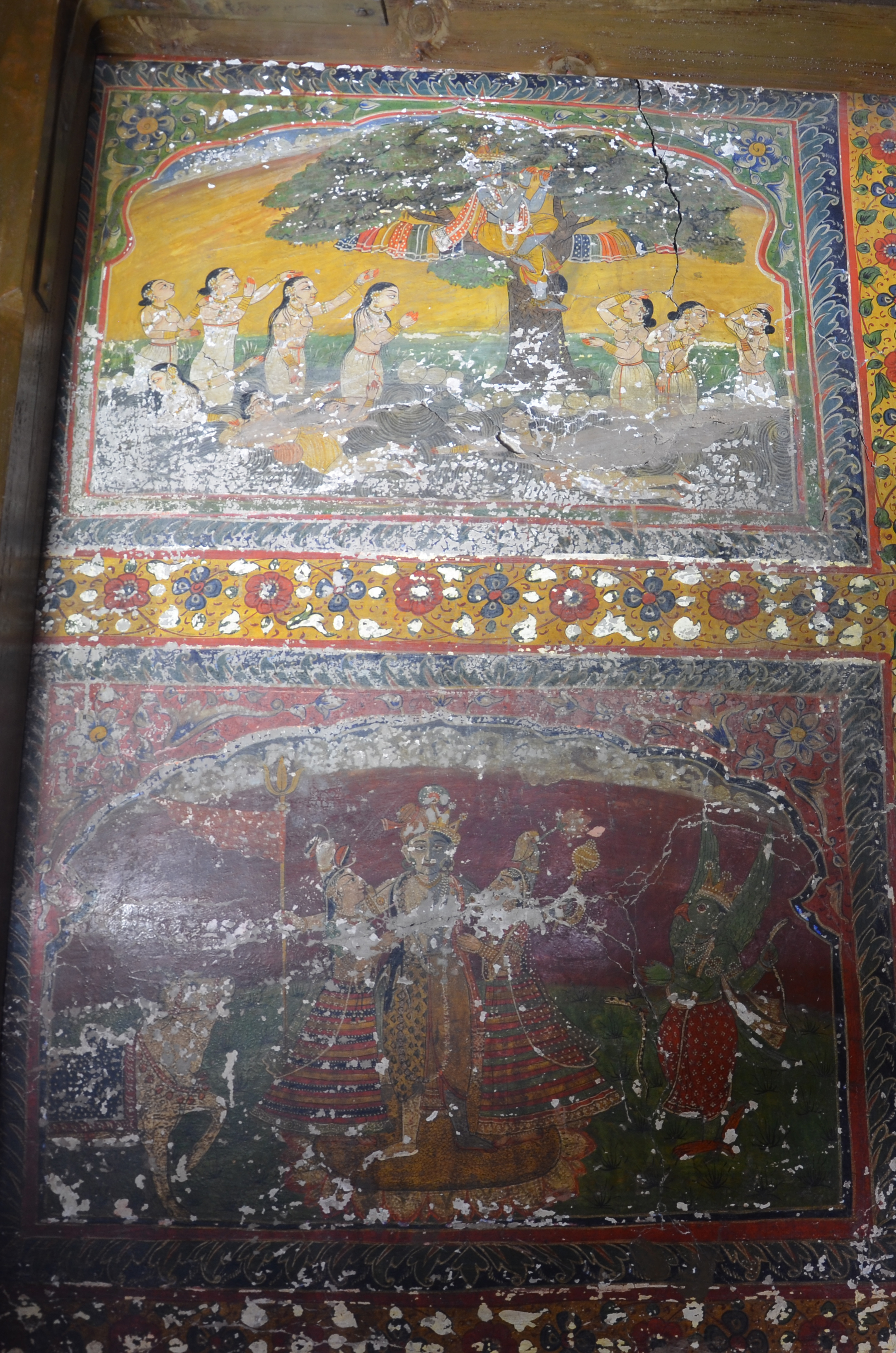
– Chatrahri – Murals
– Devi Kothi – Murals
Kangra:
Kulu:
Kulu (also spelled Kullu) borders Chamba to the East. Kulu is mainly the Valley of Kulu which is identical with the Upper Beas River Valley. Politically, the southern border is the northern, i.e. right banks of the Sutlej River. To the North, the Rotang Pass was the topographic border towards Lahul. The Kulu Valley has a number of places and religious sites that may be related to Chamba. Kulu was and still is a furtile valley and a major transit route towards the North. It also borders the Tibetan high altitude regions of the Western Himalayan Range such as Spiti and Kinnaur which made it vulnerable to inraids of Tibetan troops. The major religious sites of the Beas Valley include Bajaura, Jagatsukh, Dashal, Naggar and Manali. There are however many more smaller sites along the ancient route where small shrines bear witness of a Brahmanic tradition which is much older than a millennium.
Shimla:
The district of Shimla as a regional and political entity results from the decision of the British colonial government which shifted the summer residence away from monsoon battered Delhi to the higher altitudes of the Huill States to the town of the same name. During the last quarter of the first millennium, this part of the Hills was primarily under the cultural and probably political influence of the Gurjara Pratiharas of Kannauj who ruled over the plains just to the south of the Hills. Closest to Kannauj was the South-East of Shimla where a cluster of temples in and around Hatkoti (Saura and Parahat) still provide evidence of religious activies during that period. These include a couple of nagara shrines in different states of preservation, which display features that are not found in other parts of the Hills. Other sites with important religious foundations include Balag and Nirath which is famous for its Surya Temple.
